Related Images

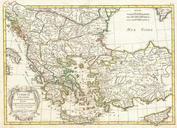
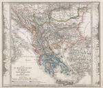
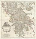
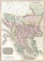
Download:
| Tiny | 157x128 | View | Download |
| Small | 314x256 | View | Download |
| Medium | 628x512 | View | Download |
| Large | 1256x1024 | View | Download |
| Original | 3000x2444 | View | Download |
This image was acquired from
wikimedia. It was marked as Public Domain or CC0 and is free to use. To verify, go to the source and check the information there.
Looking for more info about this image?
Try a Google Reverse Image Search for it.
Try a Google Reverse Image Search for it.
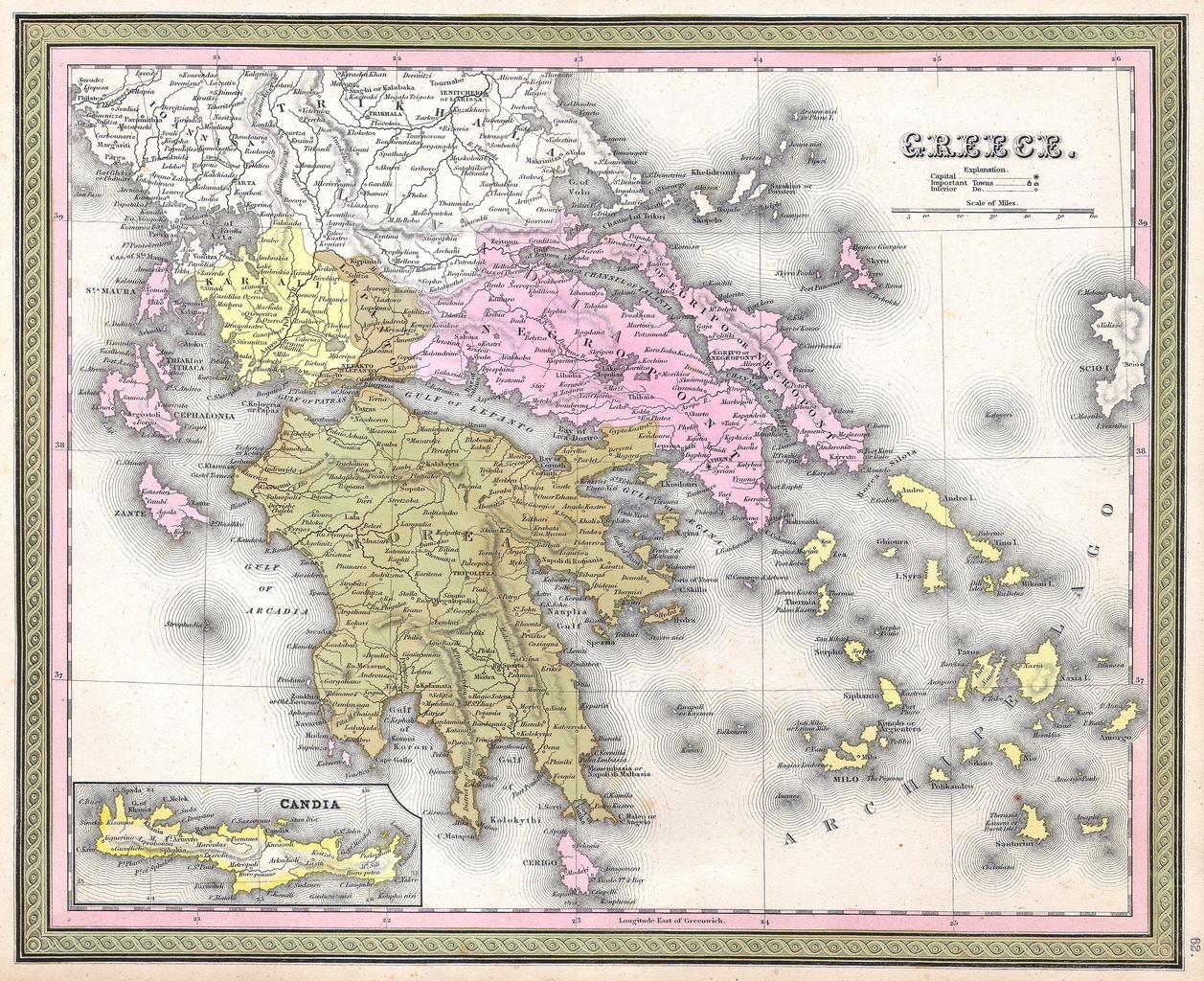
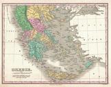
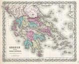
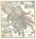
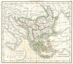
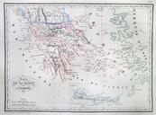
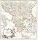
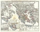
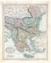
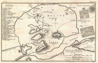
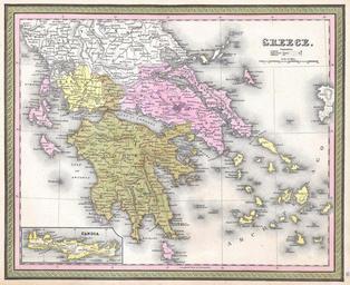
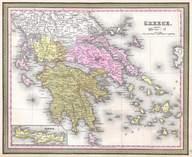
Keywords from Image Description:
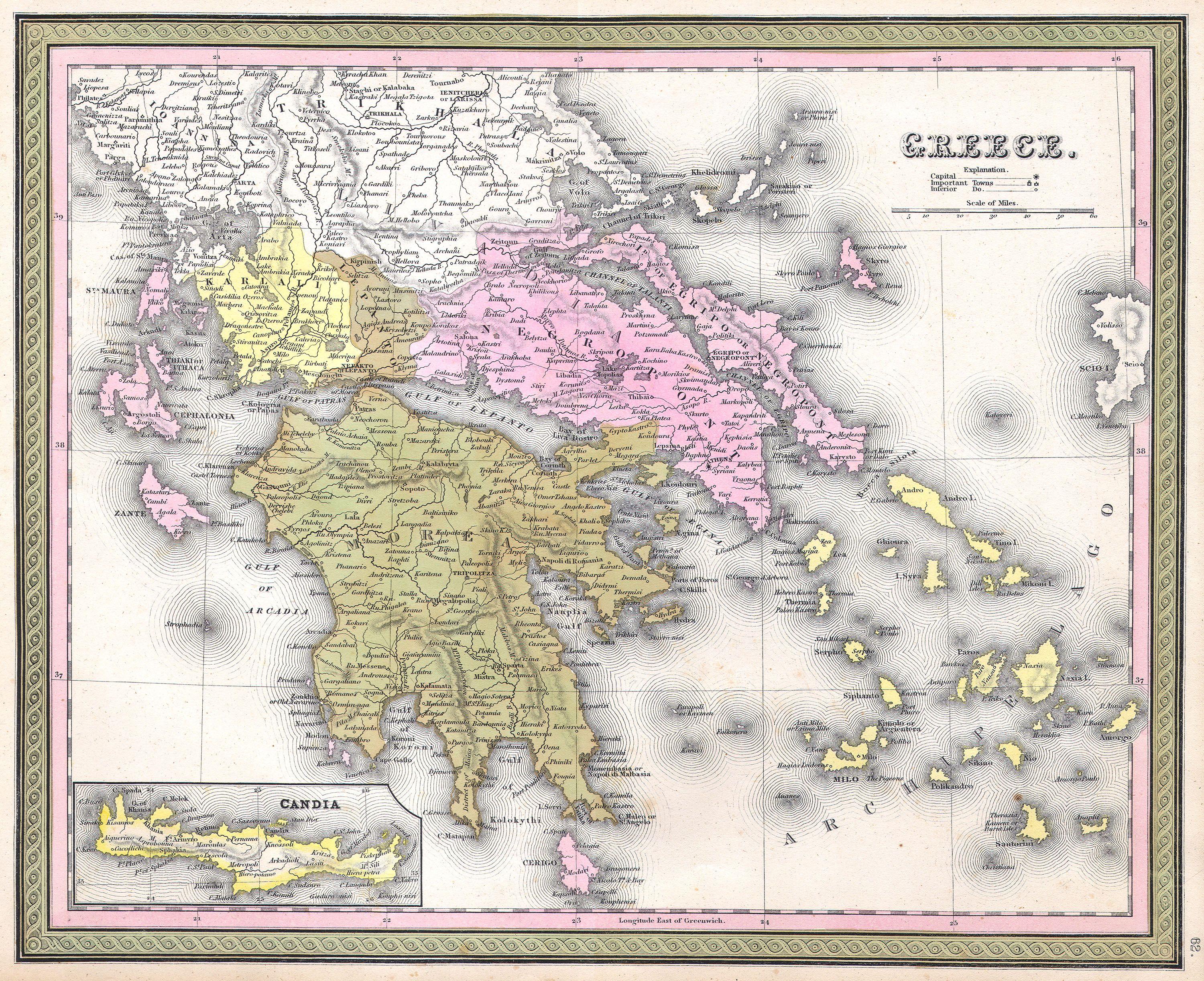
Mitchell Map of Greece Geographicus Greecem. This hand colored map is copper plate engraving dating to by the legendary American Mapmaker Mitchell the elder It represents the southern portion of what is today Greece from Macedonia to the Peloponnesus and includes many of the islands in the Greek Archipelago Inset map depicts