
Related Images


Download:
| Tiny | 104x128 | View | Download |
| Small | 208x256 | View | Download |
| Medium | 417x512 | View | Download |
| Large | 835x1024 | View | Download |
| Original | 3000x3675 | View | Download |
This image was acquired from
wikimedia. It was marked as Public Domain or CC0 and is free to use. To verify, go to the source and check the information there.
Looking for more info about this image?
Try a Google Reverse Image Search for it.
Try a Google Reverse Image Search for it.
Keywords from Image Description:
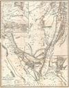
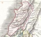
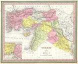
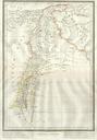
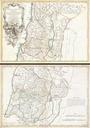
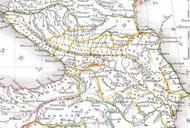
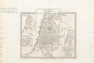
Kiepert Map of Lebanon Geographicus Lebanonkiepert. An uncommon map of Lebanon by the classical scholar and cartographer Kiepert Covers all of modern day Lebanon as well as parts of adjacent Israel Palestine Jordan and Syria This map is based on the travels of Robinson and Smith in this area Robinson and Smith in search of unidentified