
Related Images


Download:
| Tiny | 89x128 | View | Download |
| Small | 178x256 | View | Download |
| Medium | 357x512 | View | Download |
| Large | 714x1024 | View | Download |
| Original | 2000x2866 | View | Download |
This image was acquired from
wikimedia. It was marked as Public Domain or CC0 and is free to use. To verify, go to the source and check the information there.
Looking for more info about this image?
Try a Google Reverse Image Search for it.
Try a Google Reverse Image Search for it.
Keywords from Image Description:
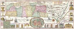
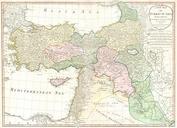
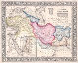
Alabern Map of Israel Palestine or Holy Land and Syria in Ancient Times Geographicus Syriaalabern. This map is steel plate lithograph depicting Syria and Palestine in Ancient Times Regions on this map include the modern day nations of Syria Jordan Israel Lebanon and parts of Turkey Iran and Iraq Size in object history credit