
Related Images

Download:
| Tiny | 153x128 | View | Download |
| Small | 306x256 | View | Download |
| Medium | 613x512 | View | Download |
| Large | 1227x1024 | View | Download |
| Original | 3500x2920 | View | Download |
This image was acquired from
wikimedia. It was marked as Public Domain or CC0 and is free to use. To verify, go to the source and check the information there.
Looking for more info about this image?
Try a Google Reverse Image Search for it.
Try a Google Reverse Image Search for it.
Keywords from Image Description:
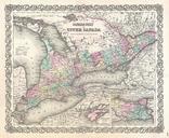
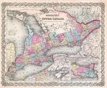
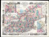
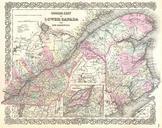
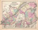
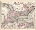
Colton Map of Ontario Canada Geographicus CanadaWestcolton. This is the uncommon issue of Colton map of Quebec which at the time was called Canada West or Upper Canada Covers from Essex in the south to Renfrew in the north and from Lambton in the west to Glengabby in the east Includes detailed inset of Wolf Island and the Vicinity