Related Images
Download:
| Tiny | 156x128 | View | Download |
| Small | 313x256 | View | Download |
| Medium | 627x512 | View | Download |
| Large | 1255x1024 | View | Download |
| Original | 3500x2855 | View | Download |
This image was acquired from
wikimedia. It was marked as Public Domain or CC0 and is free to use. To verify, go to the source and check the information there.
Looking for more info about this image?
Try a Google Reverse Image Search for it.
Try a Google Reverse Image Search for it.
Keywords from Image Description:
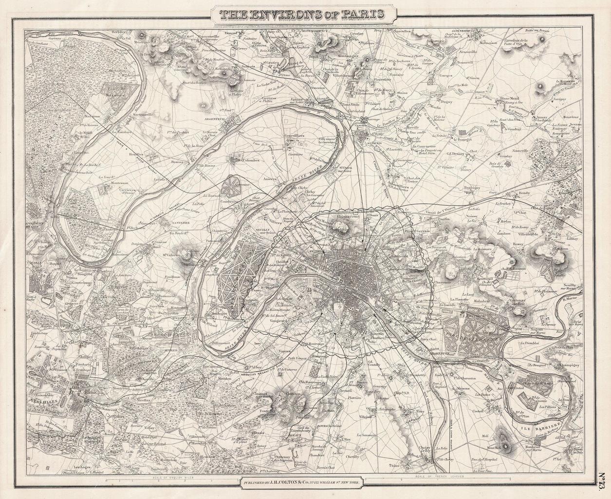
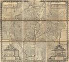
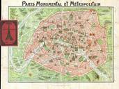
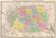
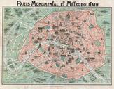
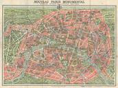
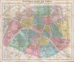
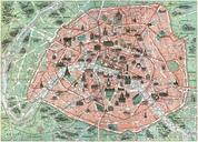
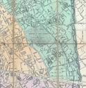
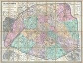
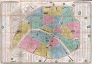
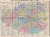
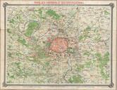
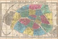
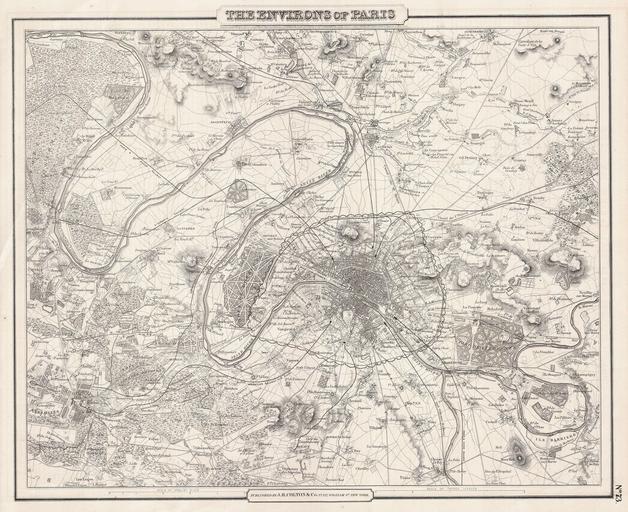
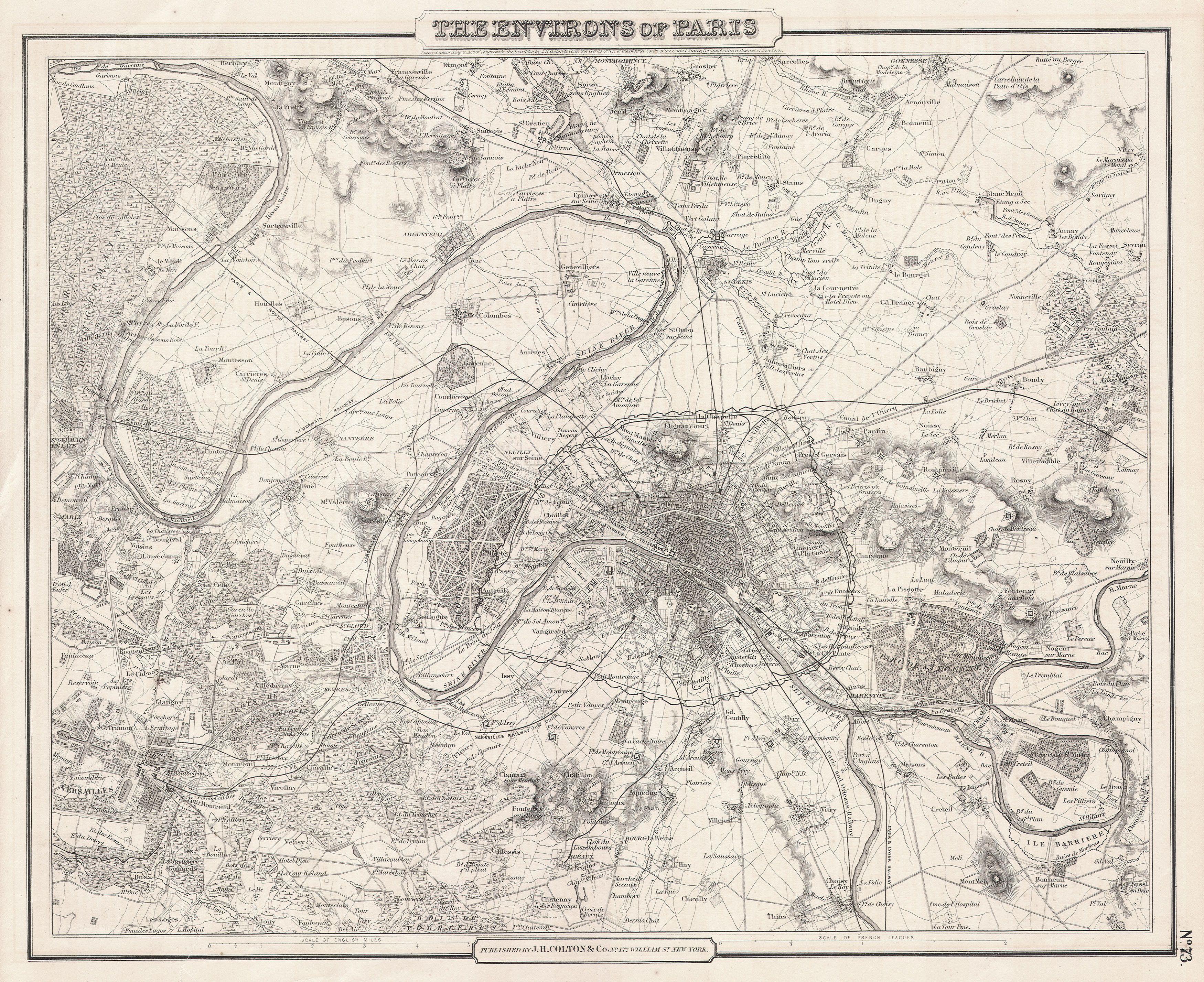
Colton Map of Paris France Geographicus Pariscbl. This rare hand colored map of Paris and Environs is copper plate engraving dating to Produced by the respected mid th century American Mapmaker Colton Map covers the Seine valley in roughly mile radius of Paris Versailles appears in the extreme southwest and Vitry in the extreme