
Related Images
Download:
| Tiny | 184x128 | View | Download |
| Small | 368x256 | View | Download |
| Medium | 736x512 | View | Download |
| Large | 1472x1024 | View | Download |
| Original | 6000x4173 | View | Download |
This image was acquired from
wikimedia. It was marked as Public Domain or CC0 and is free to use. To verify, go to the source and check the information there.
Looking for more info about this image?
Try a Google Reverse Image Search for it.
Try a Google Reverse Image Search for it.
Keywords from Image Description:
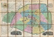
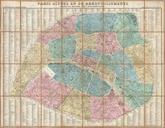
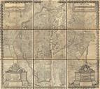
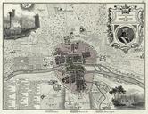
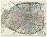
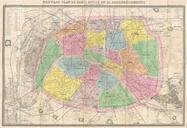
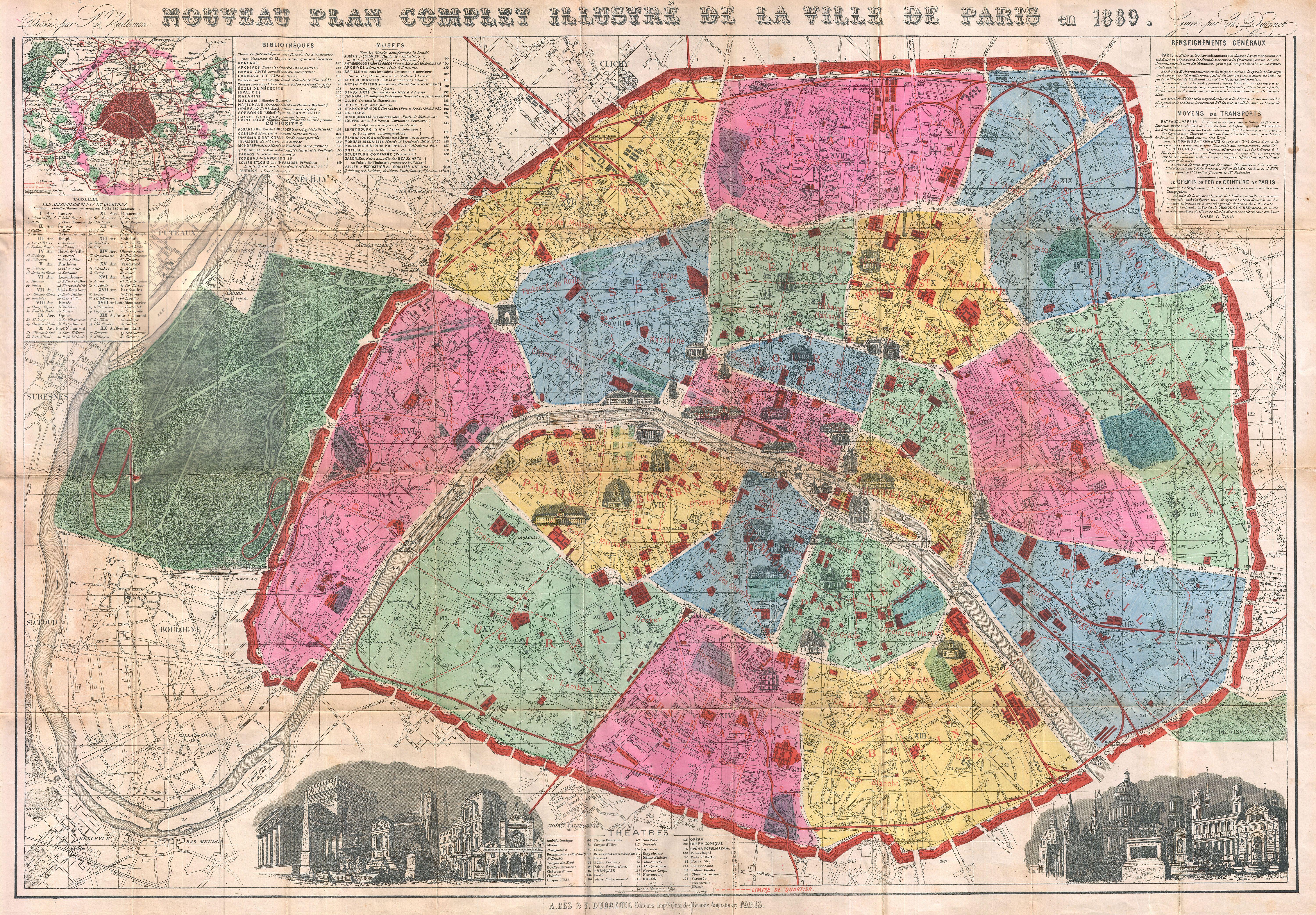
Vuillemin Map of Paris France Geographicus Parisvuillemin. bright and stunning map of Paris made by Vuillemin for the Exposition Universelle World's Fair Covers the walled center of Paris as well as its immediate vicinity to the west including the Bois de Boulogne Important buildings are noted throughout and often shown in profile