
Related Images
Download:
| Tiny | 166x128 | View | Download |
| Small | 332x256 | View | Download |
| Medium | 664x512 | View | Download |
| Large | 1328x1024 | View | Download |
| Original | 4000x3084 | View | Download |
This image was acquired from
wikimedia. It was marked as Public Domain or CC0 and is free to use. To verify, go to the source and check the information there.
Looking for more info about this image?
Try a Google Reverse Image Search for it.
Try a Google Reverse Image Search for it.
Keywords from Image Description:
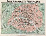
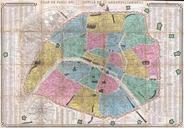
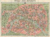
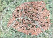
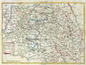
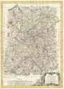
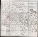
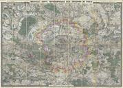
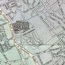
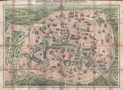
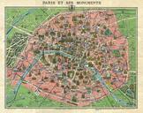
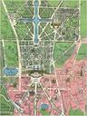
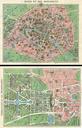
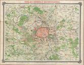
Erhard Map of Paris and Vicinity France Geographicus Pariserhard. An unusual map of Paris France and its vicinity by Dr Ermete Pierotti Centered on Paris this map covers the region from Longuesse to Solers and from Cernay to Marchemoret Identifies countless towns cities forests and chateaux including Versailles Identifies rail