
Related Images


Download:
| Tiny | 175x128 | View | Download |
| Small | 351x256 | View | Download |
| Medium | 703x512 | View | Download |
| Large | 1407x1024 | View | Download |
| Original | 5000x3637 | View | Download |
This image was acquired from
wikimedia. It was marked as Public Domain or CC0 and is free to use. To verify, go to the source and check the information there.
Looking for more info about this image?
Try a Google Reverse Image Search for it.
Try a Google Reverse Image Search for it.
Keywords from Image Description:
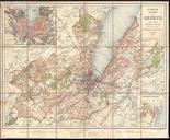
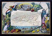
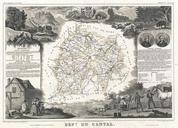
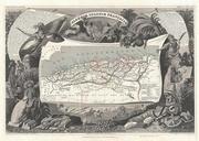
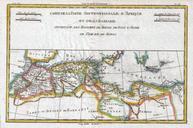
Dufour Map of Algeria Geographicus Algeriedufour. An extremely attractive and monumentally proportioned map of Algeria by the French cartographer Dufour Algeria is depicted divided into the administrative districts of Oran Alger and Constantine Shows roads rivers caravan routes cities and topographical features Also details several