Related Images


Download:
| Tiny | 94x128 | View | Download |
| Small | 188x256 | View | Download |
| Medium | 376x512 | View | Download |
| Large | 752x1024 | View | Download |
| Original | 3675x5000 | View | Download |
This image was acquired from
wikimedia. It was marked as Public Domain or CC0 and is free to use. To verify, go to the source and check the information there.
Looking for more info about this image?
Try a Google Reverse Image Search for it.
Try a Google Reverse Image Search for it.
Keywords from Image Description:
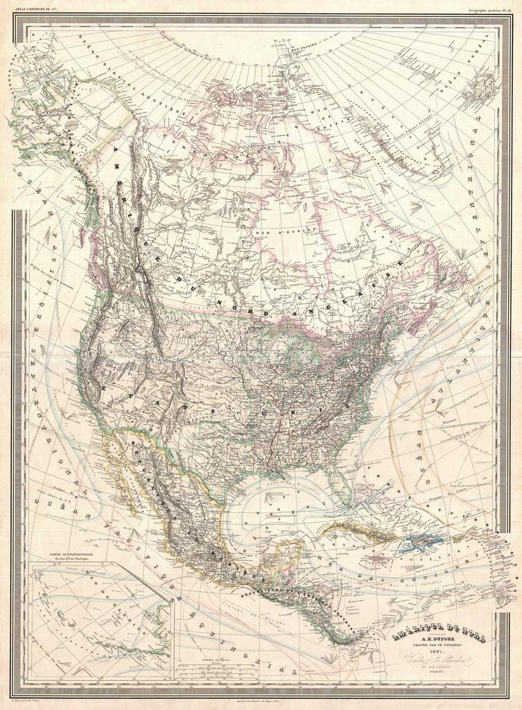
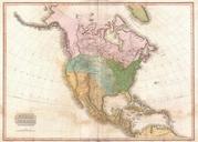
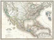
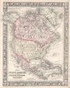
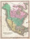
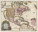
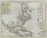
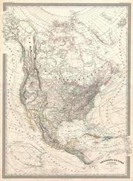
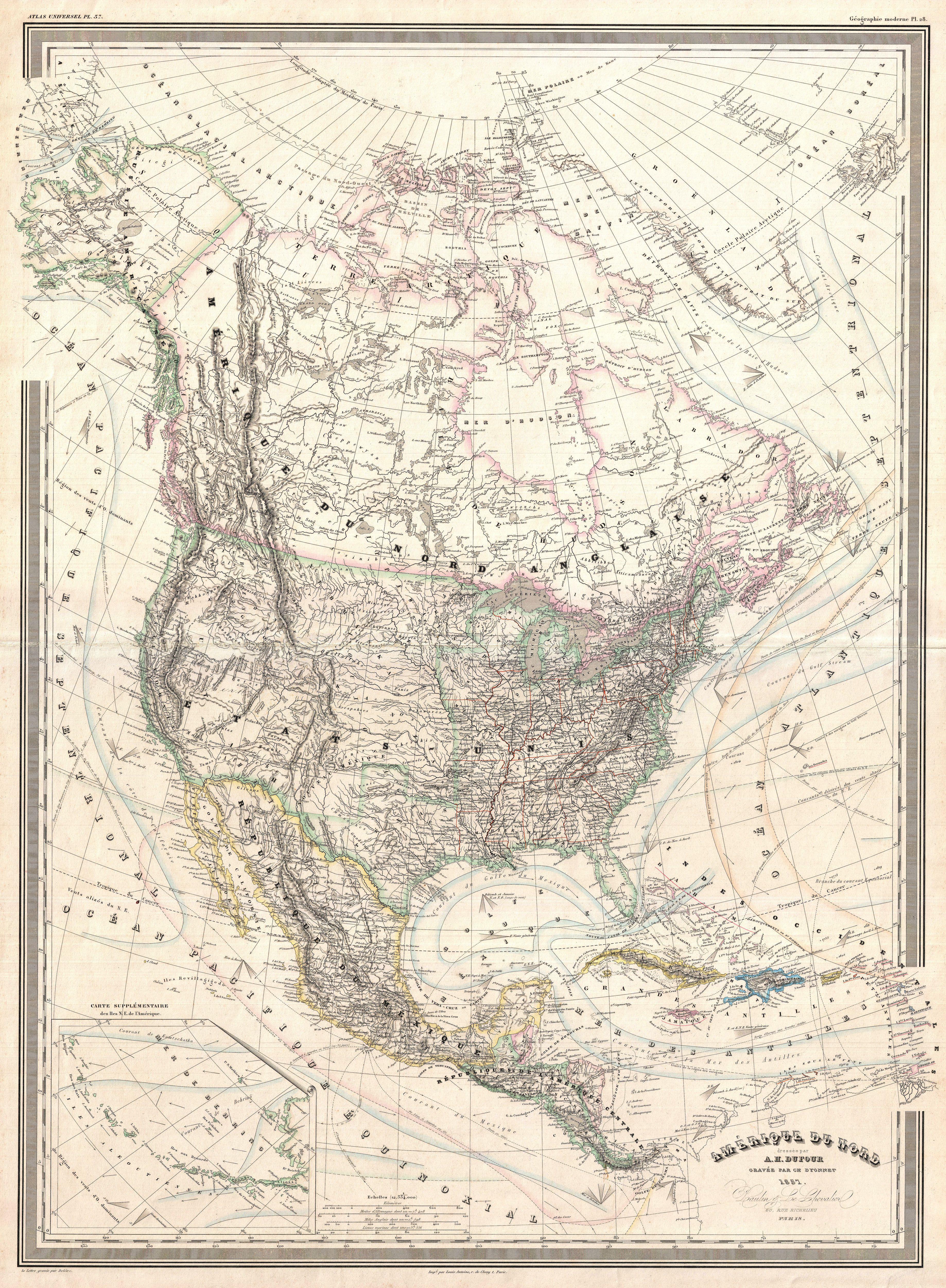
Dufour Map of North America Geographicus NorthAmericadufour. finely detailed large format map of the North America on Mercator's projection by the French cartographer Dufour This map covers the entire continent from the Polar Ice Cap to the northern part of South America inclusive of the West Indies Central America Mexico the