Related Images

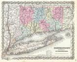
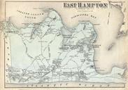
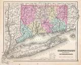
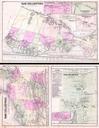
Download:
| Tiny | 154x128 | View | Download |
| Small | 309x256 | View | Download |
| Medium | 618x512 | View | Download |
| Large | 1236x1024 | View | Download |
| Original | 2226x1844 | View | Download |
This image was acquired from
wikimedia. It was marked as Public Domain or CC0 and is free to use. To verify, go to the source and check the information there.
Looking for more info about this image?
Try a Google Reverse Image Search for it.
Try a Google Reverse Image Search for it.
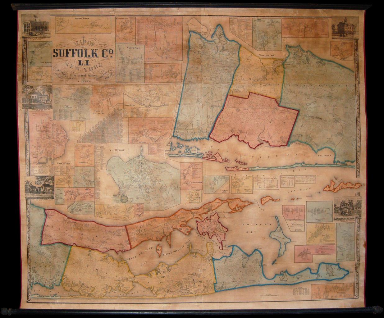
Keywords from Image Description:
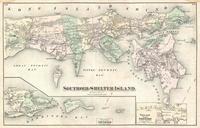
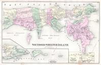
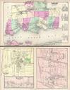
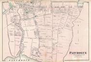
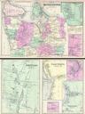
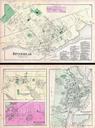
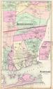
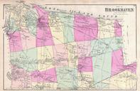
Smith and Chase Wall Map of Suffolk Couty Long Island Geographicus SuffolkCountyLongIslandpearsall. Without doubt one of the finest wall maps of Suffolk County eastern Long Island New York ever made This monumental wall map covers the eastern part of Long Island roughly from Huntington to Montauk Divided into two main sections