Related Images


Download:
| Tiny | 75x128 | View | Download |
| Small | 151x256 | View | Download |
| Medium | 302x512 | View | Download |
| Large | 605x1024 | View | Download |
| Original | 2366x4000 | View | Download |
This image was acquired from
wikimedia. It was marked as Public Domain or CC0 and is free to use. To verify, go to the source and check the information there.
Looking for more info about this image?
Try a Google Reverse Image Search for it.
Try a Google Reverse Image Search for it.
Keywords from Image Description:
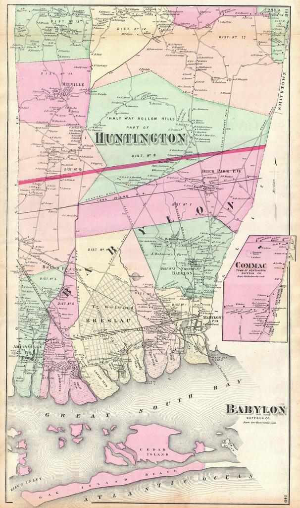
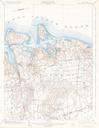
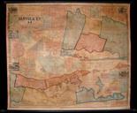
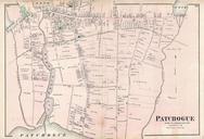
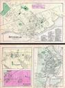
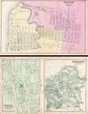
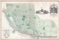
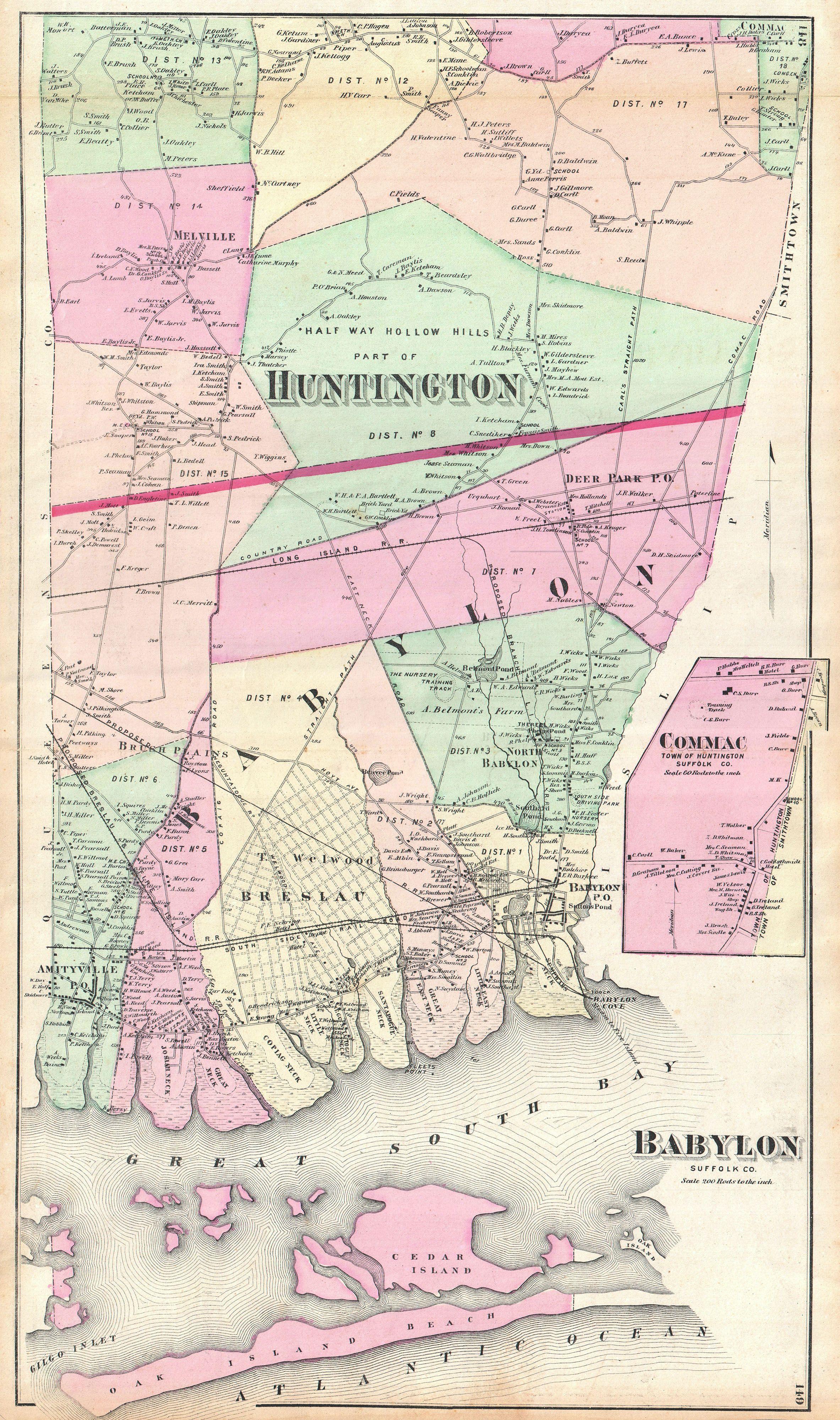
Beers Map of Babylon and Huntington Long Island New York Geographicus Babylonbeers. scarce example of Fredrick Beers map of the southern part of Huntington and Babylon Long Island New York Published in this magnificent map covers from Amityville to Babylon Cove Extend as far moth as Melville and Half Way Hollow Hills in Huntington