
Related Images


Download:
| Tiny | 160x128 | View | Download |
| Small | 320x256 | View | Download |
| Medium | 640x512 | View | Download |
| Large | 1280x1024 | View | Download |
| Original | 5000x4000 | View | Download |
This image was acquired from
wikimedia. It was marked as Public Domain or CC0 and is free to use. To verify, go to the source and check the information there.
Looking for more info about this image?
Try a Google Reverse Image Search for it.
Try a Google Reverse Image Search for it.
Keywords from Image Description:
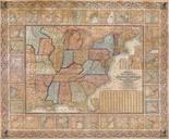
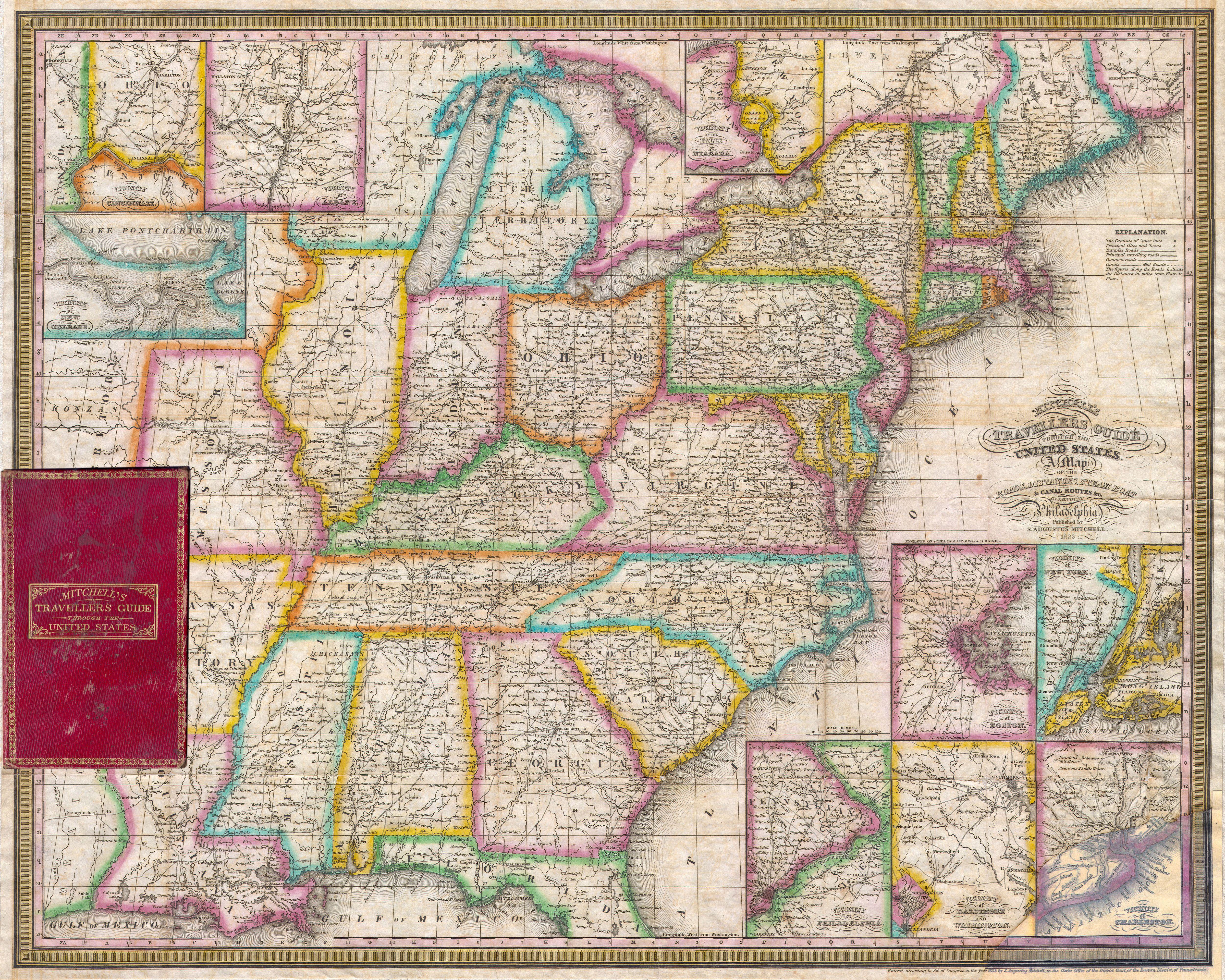
Mitchell's Pocket Map of the United States Geographicus TravellersGuidemitchell. rare first edition of Mitchell Travellers Guide to the United States Depicts the eastern half of the United States from Texas Mexico at the time and Missouri Territory eastward to the Atlantic Includes only the northern part of Florida Labels roadways