
Related Images


Download:
| Tiny | 178x128 | View | Download |
| Small | 356x256 | View | Download |
| Medium | 712x512 | View | Download |
| Large | 1424x1024 | View | Download |
| Original | 5000x3594 | View | Download |
This image was acquired from
wikimedia. It was marked as Public Domain or CC0 and is free to use. To verify, go to the source and check the information there.
Looking for more info about this image?
Try a Google Reverse Image Search for it.
Try a Google Reverse Image Search for it.
Keywords from Image Description:
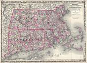
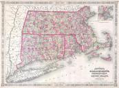
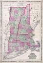
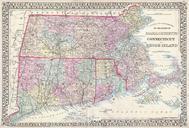
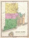
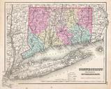
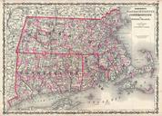
Johnson Map of Massachusetts Connecticut and Rhode Island Geographicus MACTRIjohnson. This is Johnson and Browning map of Massachusetts Connecticut and Rhode Island Covers the states divided into counties with special attention to transportation especially roads railroads and canals Includes parts of Long Island East Hampton and