
Related Images


Download:
| Tiny | 143x128 | View | Download |
| Small | 286x256 | View | Download |
| Medium | 572x512 | View | Download |
| Large | 1145x1024 | View | Download |
| Original | 5000x4470 | View | Download |
This image was acquired from
wikimedia. It was marked as Public Domain or CC0 and is free to use. To verify, go to the source and check the information there.
Looking for more info about this image?
Try a Google Reverse Image Search for it.
Try a Google Reverse Image Search for it.
Keywords from Image Description:
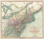
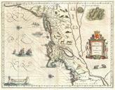
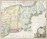
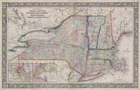
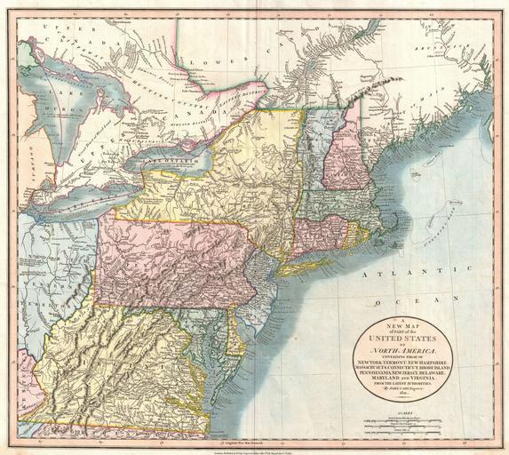
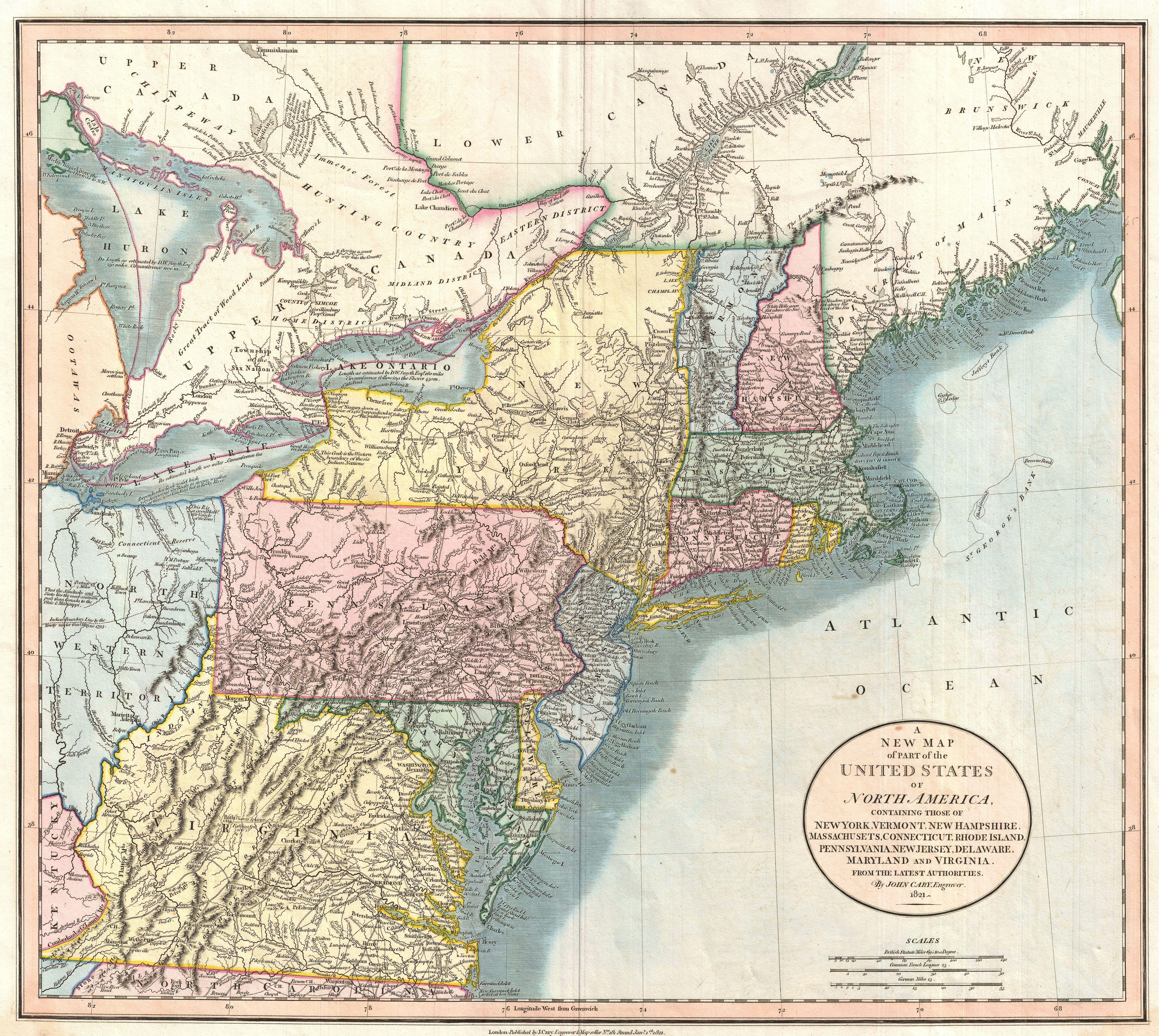
Cary Map of New England New York Pennsylvania and Virginia Geographicus NewYorkNewEnglandcary. Published by John Cary in this is one of the most interesting atlas maps of the northeastern parts of the United States to appear in the early th century Centered on New York and Pennsylvania Cary map covers from Lake Huron southward


