
Related Images

Download:
| Tiny | 168x128 | View | Download |
| Small | 336x256 | View | Download |
| Medium | 673x512 | View | Download |
| Large | 1347x1024 | View | Download |
| Original | 3356x2551 | View | Download |
This image was acquired from
wikimedia. It was marked as Public Domain or CC0 and is free to use. To verify, go to the source and check the information there.
Looking for more info about this image?
Try a Google Reverse Image Search for it.
Try a Google Reverse Image Search for it.
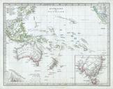
Keywords from Image Description:
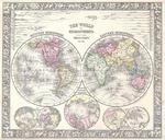
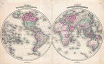
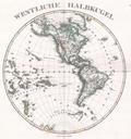
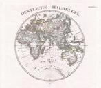
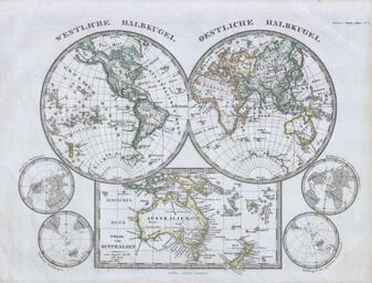
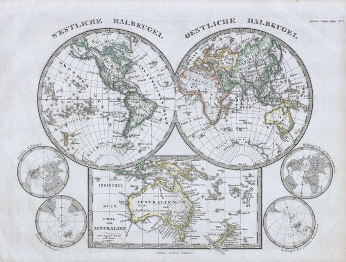
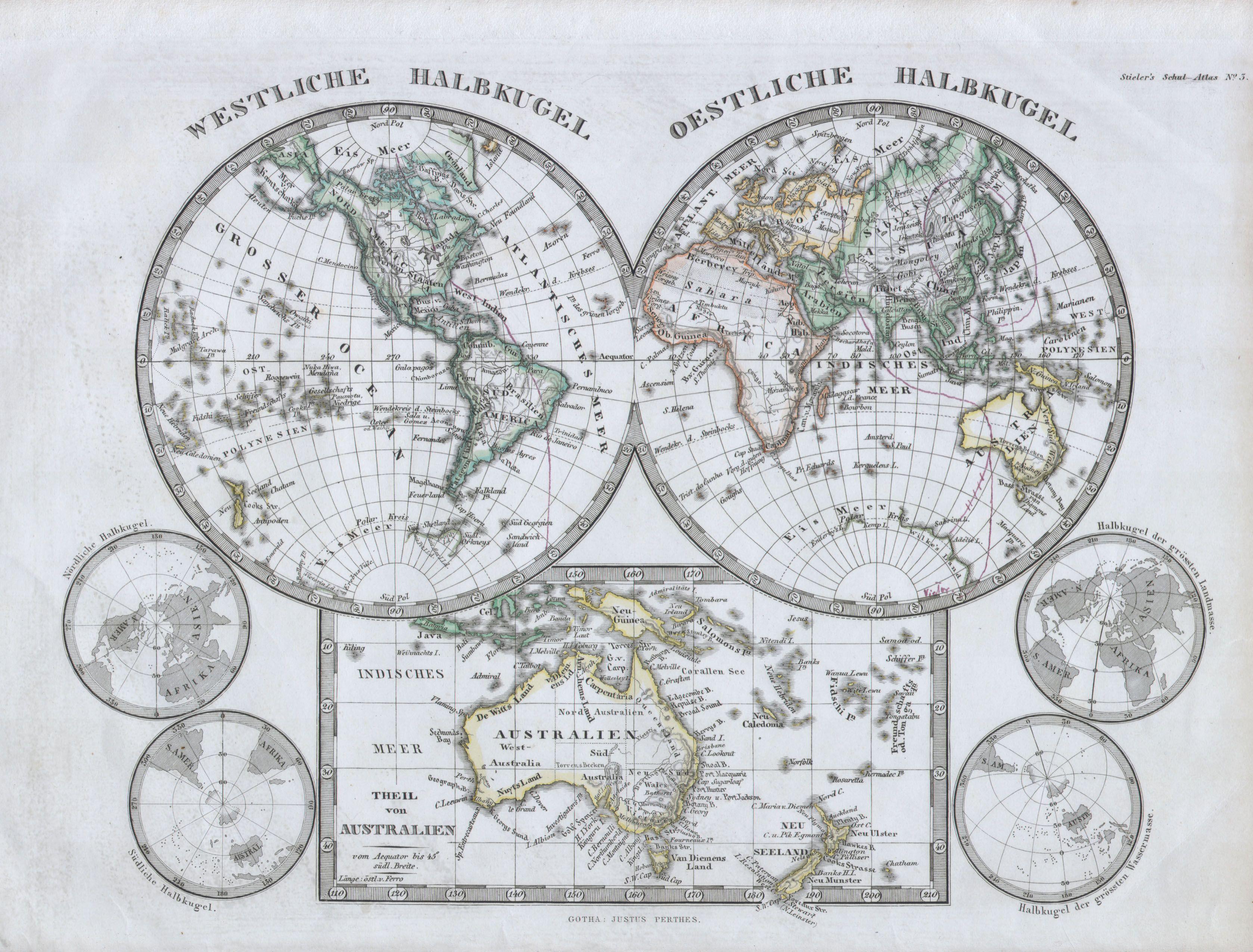
Stieler Hemisphere Map of the World Geographicus WorldHemiperthes. This fascinating map by Justus Perthes and Stieler depicts the world in two hemispheres with special area dedicated to Australia and New Zealand For smaller maps depict the north and south polar regions Unlike other cartographic publishers of the period the Justus