Download:
| Tiny | 163x128 | View | Download |
| Small | 326x256 | View | Download |
| Medium | 652x512 | View | Download |
| Large | 1304x1024 | View | Download |
| Original | 2500x1962 | View | Download |
This image was acquired from
wikimedia. It was marked as Public Domain or CC0 and is free to use. To verify, go to the source and check the information there.
Looking for more info about this image?
Try a Google Reverse Image Search for it.
Try a Google Reverse Image Search for it.
Keywords from Image Description:
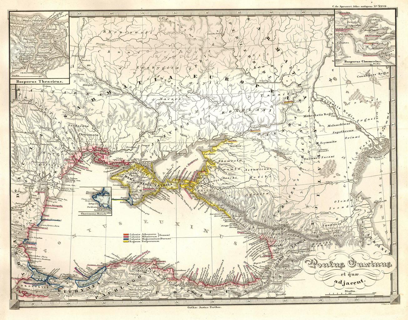
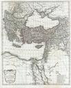
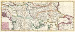
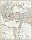
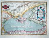
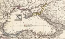
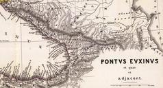
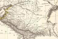
Spruneri Map of the Black Sea or Pontus Euxinus in Ancient Times Geographicus PontusEuxinusspruneri. This fine hand colored map is an steel plate lithograph depicting the Black Sea or Pontus Euxinus and vicinity Depicts from the Propontis eastward to the Caspian Sea and northward as far as Castle Darin in modern day Ukraine Features
