
Related Images


Download:
| Tiny | 170x128 | View | Download |
| Small | 340x256 | View | Download |
| Medium | 680x512 | View | Download |
| Large | 1360x1024 | View | Download |
| Original | 4000x3011 | View | Download |
This image was acquired from
wikimedia. It was marked as Public Domain or CC0 and is free to use. To verify, go to the source and check the information there.
Looking for more info about this image?
Try a Google Reverse Image Search for it.
Try a Google Reverse Image Search for it.
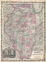
Keywords from Image Description:
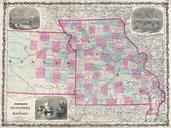
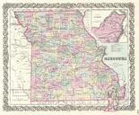
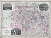
Johnson's Map of Missouri and Kansas Geographicus MIKAj. This is Johnson and Ward map of Missouri and Kansas Covers the state divided into counties with special attention to transportation especially roads railroads and canals Features three inset woodcuts Fire on the Prairie Santa Fe From the Great Missouri Trail and American