
Related Images


Download:
| Tiny | 160x128 | View | Download |
| Small | 320x256 | View | Download |
| Medium | 640x512 | View | Download |
| Large | 1280x1024 | View | Download |
| Original | 3000x2399 | View | Download |
This image was acquired from
wikimedia. It was marked as Public Domain or CC0 and is free to use. To verify, go to the source and check the information there.
Looking for more info about this image?
Try a Google Reverse Image Search for it.
Try a Google Reverse Image Search for it.
Keywords from Image Description:
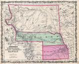
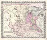
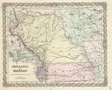
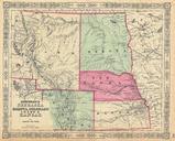
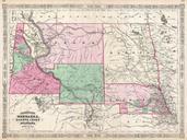
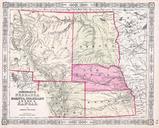
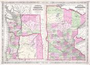
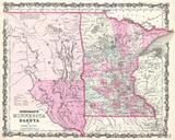
Johnson Map of Minnesota and Dakota Geographicus MNDKjohnson. beautiful example of Johnson map of Minnesota and Dakota Covers both states as well as adjacent parts of Wisconsin and Iowa This map predates the splitting of the Dakotas and instead depicts them as single great state bounded on the west by the Missouri River The proposed