
Related Images

Download:
| Tiny | 120x128 | View | Download |
| Small | 241x256 | View | Download |
| Medium | 483x512 | View | Download |
| Large | 967x1024 | View | Download |
| Original | 4722x5000 | View | Download |
This image was acquired from
wikimedia. It was marked as Public Domain or CC0 and is free to use. To verify, go to the source and check the information there.
Looking for more info about this image?
Try a Google Reverse Image Search for it.
Try a Google Reverse Image Search for it.
Keywords from Image Description:
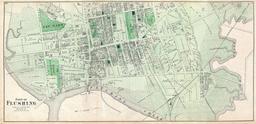
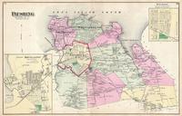
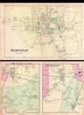
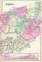
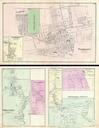
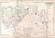
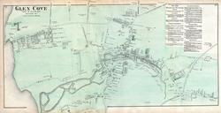
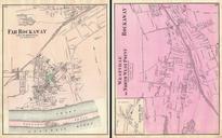
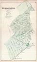
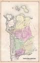
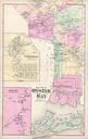
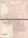
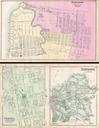
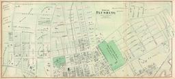
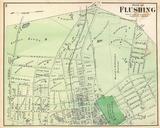
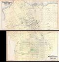
Beers Map of Whitestone Village Queens New York City Geographicus WhitestoneVillagebeers. scarce example of Fredrick Beers two map set of the community of Whitestone Queens New York Published in Roughly covers the area between the modern day Whitestone Bridge and the Throgs Neck Bridge More specifically upper map depicts from