
Related Images
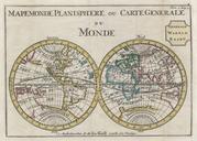

Download:
| Tiny | 157x128 | View | Download |
| Small | 315x256 | View | Download |
| Medium | 630x512 | View | Download |
| Large | 1260x1024 | View | Download |
| Original | 3000x2437 | View | Download |
This image was acquired from
wikimedia. It was marked as Public Domain or CC0 and is free to use. To verify, go to the source and check the information there.
Looking for more info about this image?
Try a Google Reverse Image Search for it.
Try a Google Reverse Image Search for it.
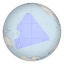
Keywords from Image Description:
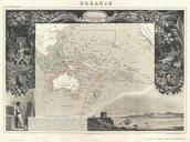
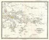
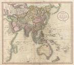
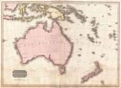
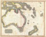
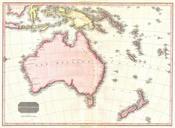
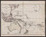
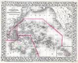
Mitchell Map of Australia Polynesia and Hawaii Geographicus Polynesiam. This hand colored map is lithographic engraving dating to by the legendary American Mapmaker Mitchell the younger Depicts All of Polynesia Melanesia and Malaysia Inset map depicts the Sandwich Islands or as the group is now known Hawaii Dated and copyrighted