Download:
| Tiny | 131x128 | View | Download |
| Small | 263x256 | View | Download |
| Medium | 527x512 | View | Download |
| Large | 1054x1024 | View | Download |
| Original | 6000x5828 | View | Download |
This image was acquired from
wikimedia. It was marked as Public Domain or CC0 and is free to use. To verify, go to the source and check the information there.
Looking for more info about this image?
Try a Google Reverse Image Search for it.
Try a Google Reverse Image Search for it.
Keywords from Image Description:
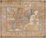
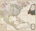
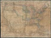
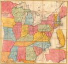
Mitchell Wall Map of the United States and North America Geographicus AmerNorthWallm. This is the first edition of Mitchell important wall map of the United States Mexico and the West Indies Depictss the entire nation from Atlantic to Pacific with inset maps of the World on Mercator Projection and the World on Globular Projection

