
Related Images


Download:
| Tiny | 111x128 | View | Download |
| Small | 223x256 | View | Download |
| Medium | 446x512 | View | Download |
| Large | 892x1024 | View | Download |
| Original | 4000x4587 | View | Download |
This image was acquired from
wikimedia. It was marked as Public Domain or CC0 and is free to use. To verify, go to the source and check the information there.
Looking for more info about this image?
Try a Google Reverse Image Search for it.
Try a Google Reverse Image Search for it.
Keywords from Image Description:
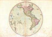
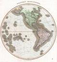
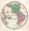
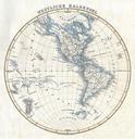
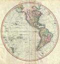
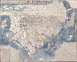
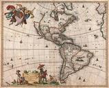
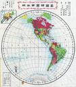
Meiji Japanese Map of North America and South America Western Hemisphere Geographicus Americameiji. This is rare Japanese folding map of the Western Hemisphere dated June or Meiji Depicts North America and South America on hemispherical projection Shows parts of Antarctica New Zealand Greenland and Siberia Most of the individual