Related Images


Download:
| Tiny | 143x128 | View | Download |
| Small | 286x256 | View | Download |
| Medium | 573x512 | View | Download |
| Large | 1147x1024 | View | Download |
| Original | 3500x3123 | View | Download |
This image was acquired from
wikimedia. It was marked as Public Domain or CC0 and is free to use. To verify, go to the source and check the information there.
Looking for more info about this image?
Try a Google Reverse Image Search for it.
Try a Google Reverse Image Search for it.
Keywords from Image Description:
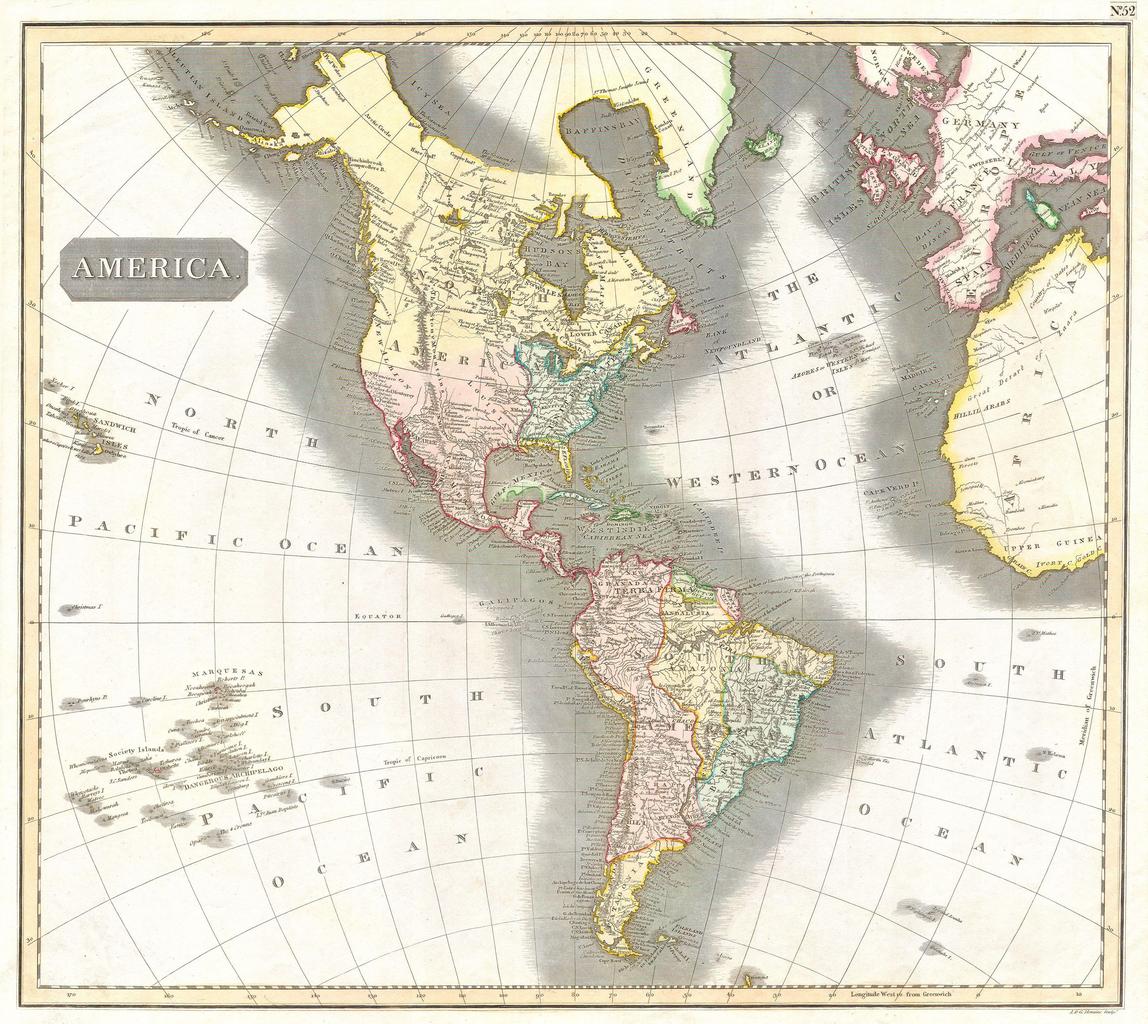
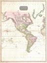
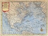
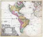
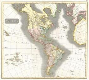
Thomson Map of North and South America Geographicus Americat. This fascinating hand colored map by Edinburgh cartographer John Thomson depicts North and South America parts of the South Pacific and the western parts of Europe and Africa Shows the political borders as they existed at the time Numerous geographical error in the