Related Images


Download:
| Tiny | 162x128 | View | Download |
| Small | 324x256 | View | Download |
| Medium | 649x512 | View | Download |
| Large | 1299x1024 | View | Download |
| Original | 3500x2758 | View | Download |
This image was acquired from
wikimedia. It was marked as Public Domain or CC0 and is free to use. To verify, go to the source and check the information there.
Looking for more info about this image?
Try a Google Reverse Image Search for it.
Try a Google Reverse Image Search for it.
Keywords from Image Description:
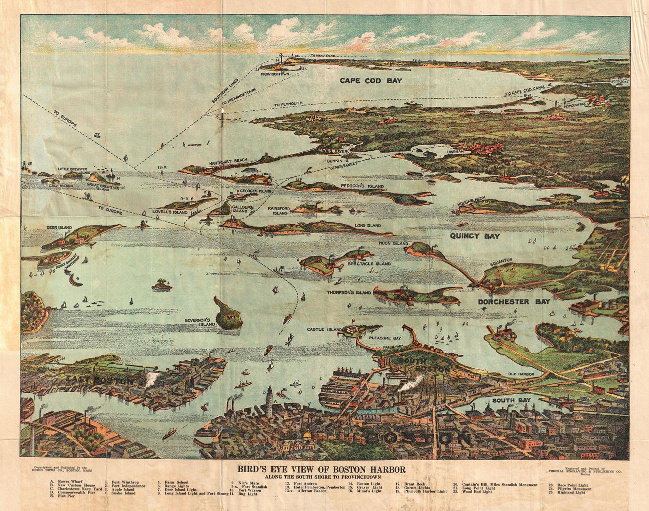
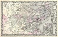
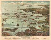
View Map of Boston Harbor from Boston to Cape Cod and Provincetown Geographicus Bostonunionnews. remarkable chromolithograph map and view of Boston Harbor from Boston to Provincetown Includes all of Cape Cod Bay Quincy Bay and Dorchester Bay with the communities of Boston East Boston South Boston Dorchester Quincy Hough's Neck