
Related Images


Download:
| Tiny | 109x128 | View | Download |
| Small | 219x256 | View | Download |
| Medium | 439x512 | View | Download |
| Large | 878x1024 | View | Download |
| Original | 3430x4000 | View | Download |
This image was acquired from
wikimedia. It was marked as Public Domain or CC0 and is free to use. To verify, go to the source and check the information there.
Looking for more info about this image?
Try a Google Reverse Image Search for it.
Try a Google Reverse Image Search for it.
Keywords from Image Description:
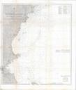
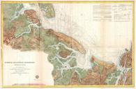
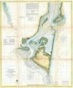
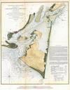
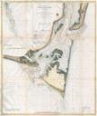
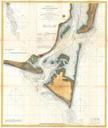
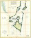
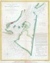
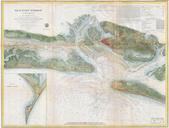
U.S.C.S. Map of Boston's North Shore Cape Ann Boston Portsmouth Geographicus PortlandMainetoRacePointuscs. rare hand colored coastal chart of the Massachusetts coast line Covers from Howland Ledge south of Boston north through Boston Proper Minot Ledge north past Nahaset Lynn Beverly Salem to Gloucester and Cape Ann Essex Ipswich