
Related Images


Download:
| Tiny | 158x128 | View | Download |
| Small | 317x256 | View | Download |
| Medium | 635x512 | View | Download |
| Large | 1270x1024 | View | Download |
| Original | 5961x4805 | View | Download |
This image was acquired from
wikimedia. It was marked as Public Domain or CC0 and is free to use. To verify, go to the source and check the information there.
Looking for more info about this image?
Try a Google Reverse Image Search for it.
Try a Google Reverse Image Search for it.
Keywords from Image Description:
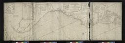
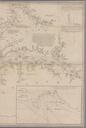
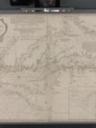
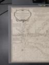
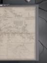
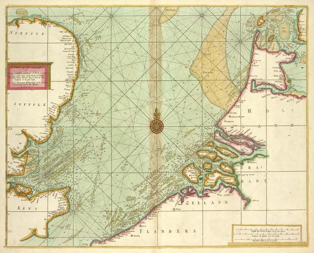
A chart of the Seacoasts of ENGLAND FLANDERS and HOLLAND shewing all the sand shoals Rocks and Dangers The Bayes Roads Harbours Buoyes and seamarks on the said coasts NYPL b. inserted in Sabin and Phillips nypl org Scan by NYPL chart of the Seacoasts of ENGLAND FLANDERS and HOLLAND shewing all the sand shoals Rocks and Dangers