
Related Images


Download:
| Tiny | 157x128 | View | Download |
| Small | 315x256 | View | Download |
| Medium | 631x512 | View | Download |
| Large | 1262x1024 | View | Download |
| Original tiff | 5964x4838 | View | Download |
| Original as jpg | 5964x4838 | View | Download |
This image was acquired from
wikimedia. It was marked as Public Domain or CC0 and is free to use. To verify, go to the source and check the information there.
Looking for more info about this image?
Try a Google Reverse Image Search for it.
Try a Google Reverse Image Search for it.
Keywords from Image Description:
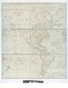
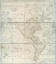
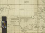
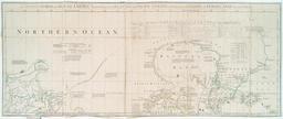
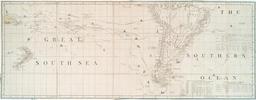
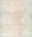
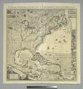
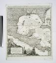
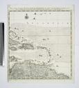
A new correct map of the trading part of the West Indies including the seat of war between Gr. Britain and Spain likewise the British Empire in America with the French and Spanish settlements NYPL. map hand col cm nypl org cfm imageID Dedicated to the Honble Edward Vernon Esqr Vice Admiral of the Blue and Commander in chief