
Related Images


Download:
| Tiny | 131x128 | View | Download |
| Small | 263x256 | View | Download |
| Medium | 526x512 | View | Download |
| Large | 1052x1024 | View | Download |
| Original | 4944x4811 | View | Download |
This image was acquired from
wikimedia. It was marked as Public Domain or CC0 and is free to use. To verify, go to the source and check the information there.
Looking for more info about this image?
Try a Google Reverse Image Search for it.
Try a Google Reverse Image Search for it.
Keywords from Image Description:
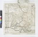
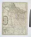
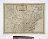
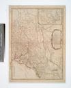
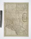
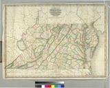
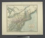
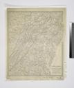
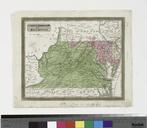
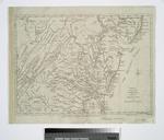
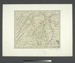
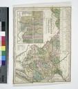
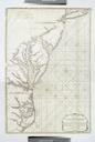
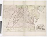
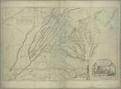
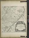
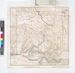
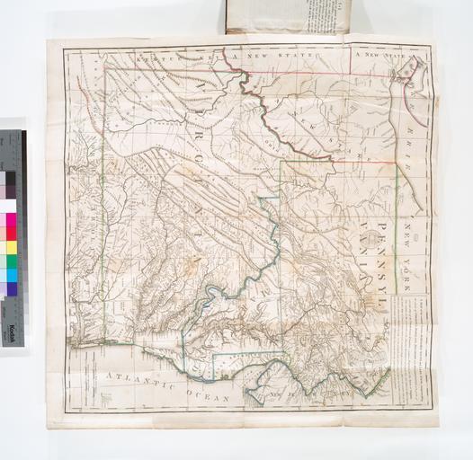
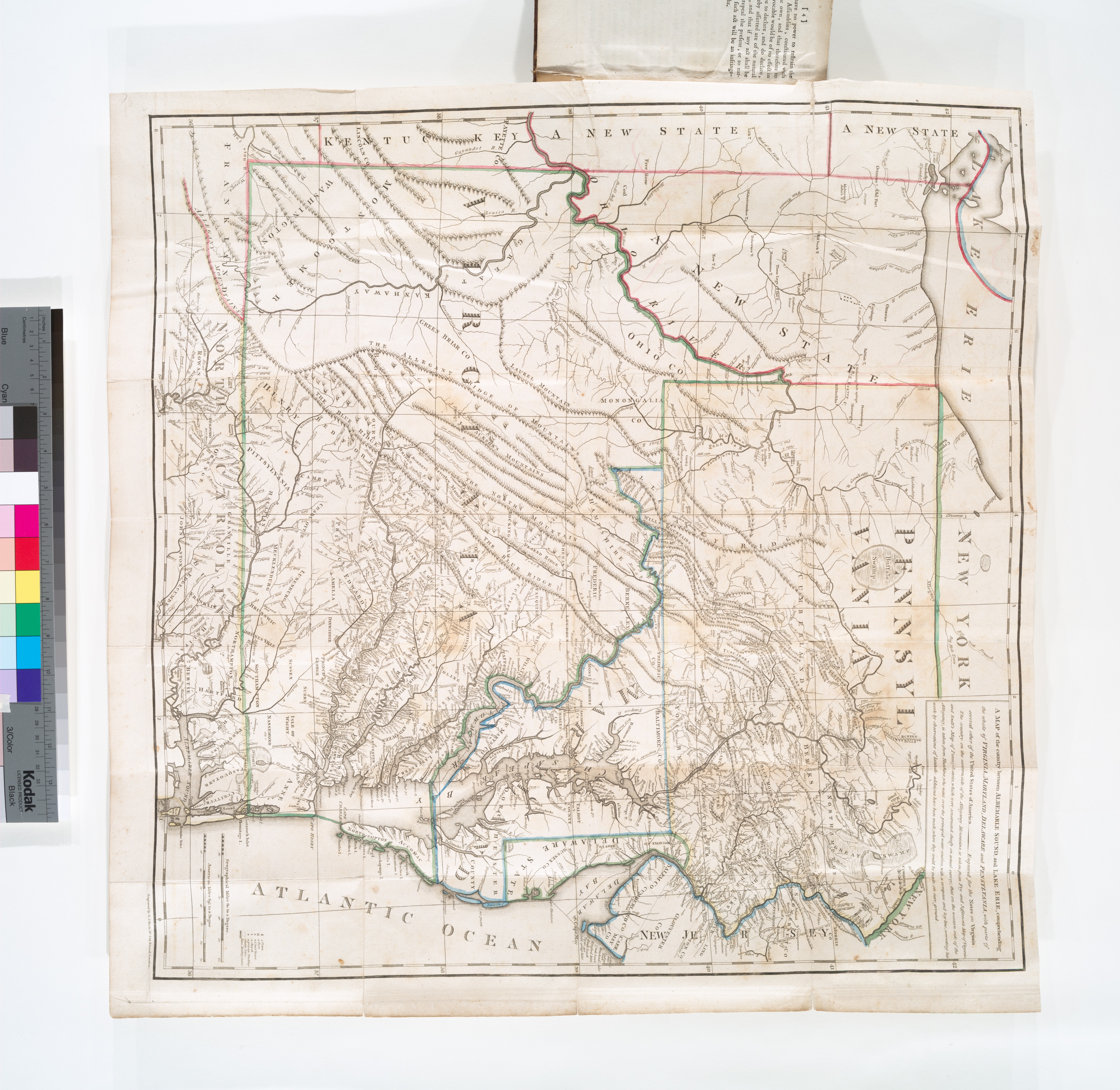
A map of the country between Albemarle Sound and Lake Erie comprehending the whole of Virginia Maryland Delaware and Pennsylvania with parts of several other of the United States of America NYPL b. en The country on the eastern side of the Alleganey Mountains is taken from Fry and Jefferson's Map of Virginia and Scull's Map of Pennsylvania