
Related Images


Download:
| Tiny | 169x128 | View | Download |
| Small | 338x256 | View | Download |
| Medium | 676x512 | View | Download |
| Large | 1352x1024 | View | Download |
| Original tiff | 6299x4768 | View | Download |
| Original as jpg | 6299x4768 | View | Download |
This image was acquired from
wikimedia. It was marked as Public Domain or CC0 and is free to use. To verify, go to the source and check the information there.
Looking for more info about this image?
Try a Google Reverse Image Search for it.
Try a Google Reverse Image Search for it.
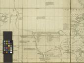
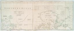
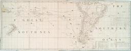
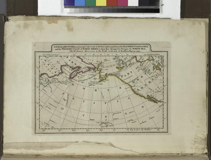
Keywords from Image Description:
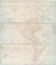
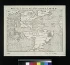
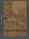
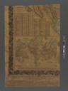
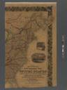
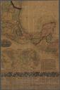
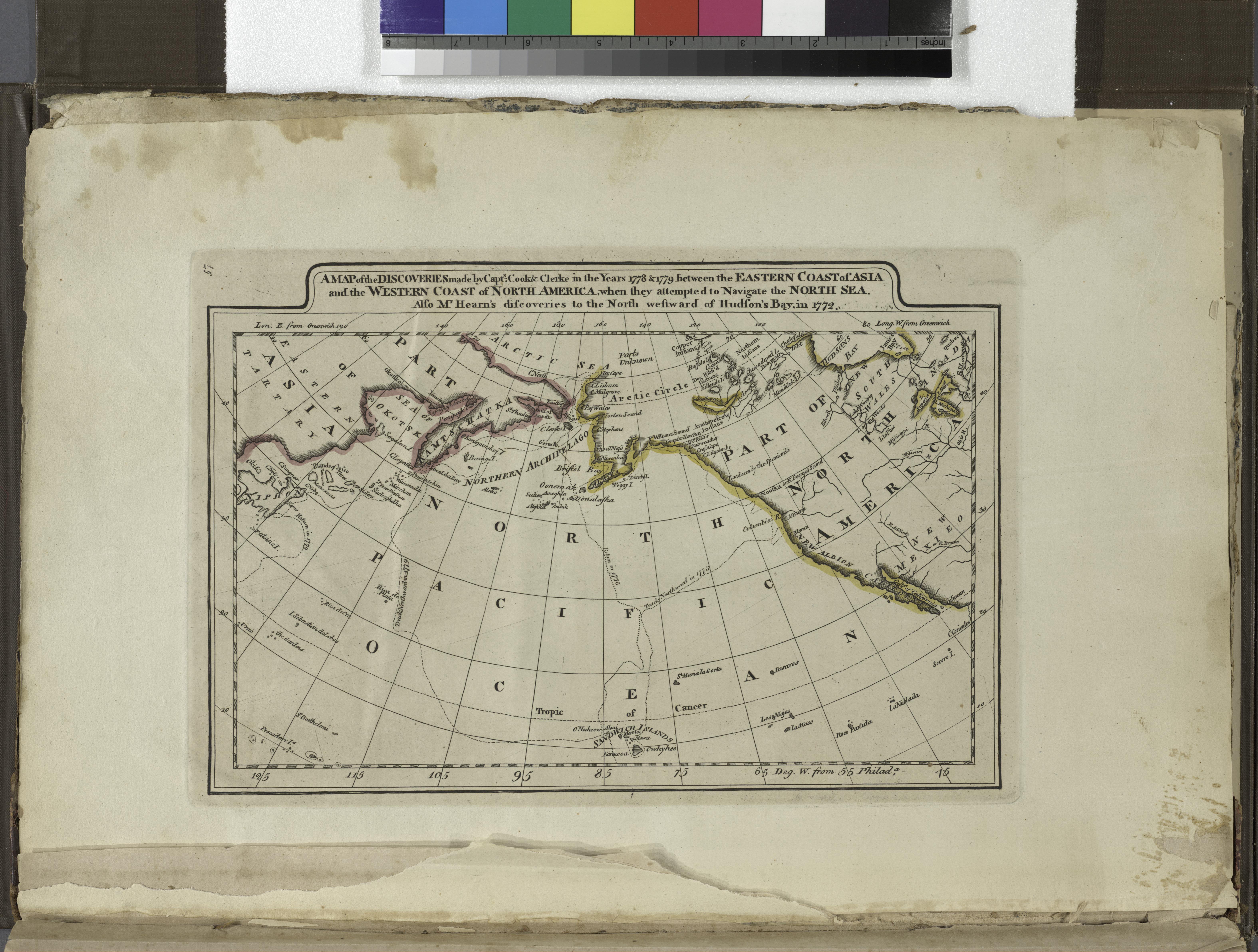
A map of the discoveries made by Capts. Cook and Clerke in the years and between the eastern coast of Asia and the western coast of North Africa when they attempted to navigate the North NYPL. map of the discoveries made by Capts Cook and Clerke in the years and between the eastern coast of Asia and the western coast of North