
Related Images


Download:
| Tiny | 165x128 | View | Download |
| Small | 330x256 | View | Download |
| Medium | 661x512 | View | Download |
| Large | 1323x1024 | View | Download |
| Original | 9892x7654 | View | Download |
This image was acquired from
wikimedia. It was marked as Public Domain or CC0 and is free to use. To verify, go to the source and check the information there.
Looking for more info about this image?
Try a Google Reverse Image Search for it.
Try a Google Reverse Image Search for it.
Keywords from Image Description:
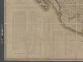
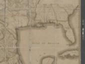
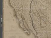
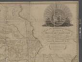
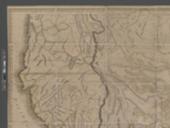
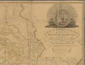
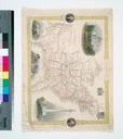
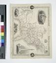
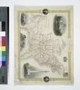
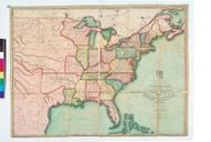
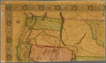
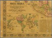
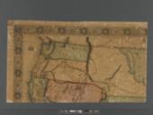
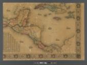
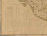
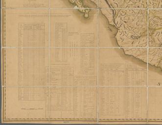
A map of Mexico Louisiana and the Missouri territory NYPL b. en Relief shown pictorially Prime meridians Washington and Greenwich Political borders outlined in color Includes tables of latitude longitude Native American nations population counts and other notes Also includes decorative cartouche Scale approximately Mapping the