
Related Images


Download:
| Tiny | 127x128 | View | Download |
| Small | 254x256 | View | Download |
| Medium | 509x512 | View | Download |
| Large | 1018x1024 | View | Download |
| Original tiff | 4937x4963 | View | Download |
| Original as jpg | 4937x4963 | View | Download |
This image was acquired from
wikimedia and wikimedia. It was marked as Public Domain or CC0 and is free to use. To verify, go to the source and check the information there.
Looking for more info about this image?
Try a Google Reverse Image Search for it.
Try a Google Reverse Image Search for it.
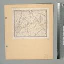
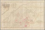
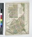
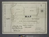
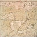
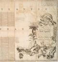
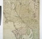
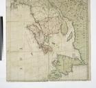
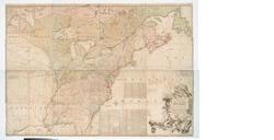
Keywords from Image Description:
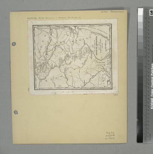
A map of the roads leading to the town of Britania in the British settlement Susquehanna County Penna. drawn by H.S. Tanner T.V.K. Co. sc. NYPL. map cm Maps of North America Countries United States except New York States Pennsylvania Cities and towns Stephen Schwarzman Building The Lionel Pincus and Princess Firyal Map