
Related Images


Download:
| Tiny | 134x128 | View | Download |
| Small | 268x256 | View | Download |
| Medium | 537x512 | View | Download |
| Large | 1074x1024 | View | Download |
| Original | 3574x3405 | View | Download |
This image was acquired from
wikimedia. It was marked as Public Domain or CC0 and is free to use. To verify, go to the source and check the information there.
Looking for more info about this image?
Try a Google Reverse Image Search for it.
Try a Google Reverse Image Search for it.
Keywords from Image Description:
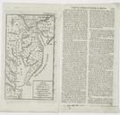
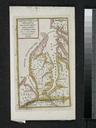
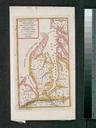
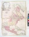
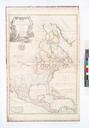
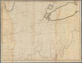
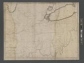
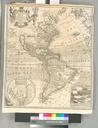
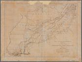
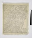
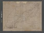
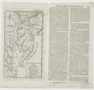
A map of that part of America where degree of latitude was measured for the Royal Society NYPL b. en Copy in Map Div includes text Length of degree of latitude in America pasted on side In upper right corner Gent Mag Nov Citation Jolly Maps of America in periodicals before nypl org Scan by NYPL map of that part of America