Related Images


Download:
| Tiny | 162x128 | View | Download |
| Small | 325x256 | View | Download |
| Medium | 650x512 | View | Download |
| Large | 1300x1024 | View | Download |
| Original tiff | 2946x2320 | View | Download |
| Original as jpg | 2946x2320 | View | Download |
This image was acquired from
wikimedia. It was marked as Public Domain or CC0 and is free to use. To verify, go to the source and check the information there.
Looking for more info about this image?
Try a Google Reverse Image Search for it.
Try a Google Reverse Image Search for it.
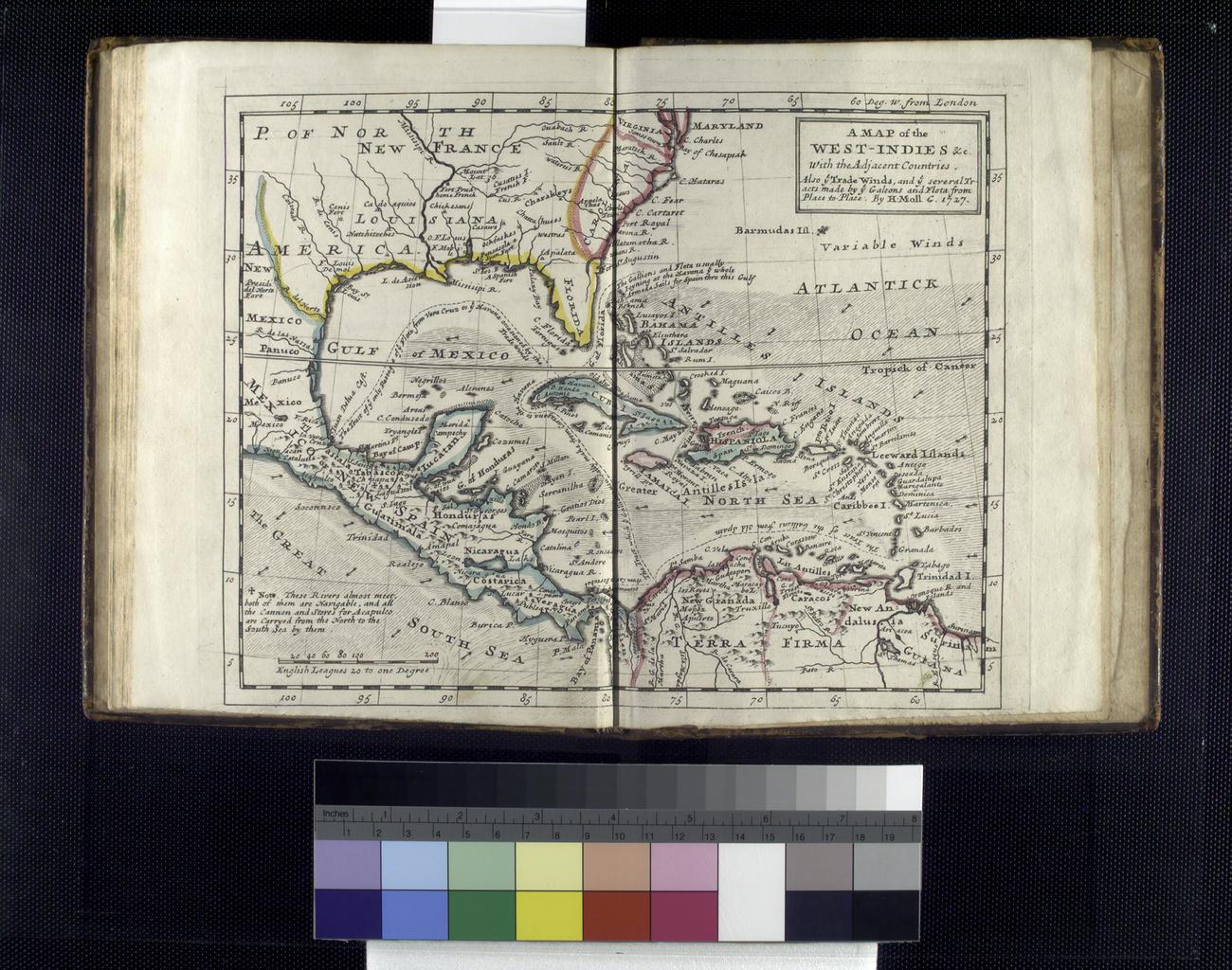
Keywords from Image Description:
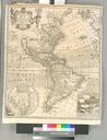
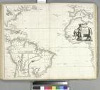
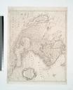
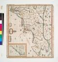
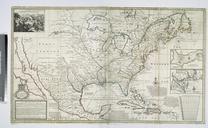
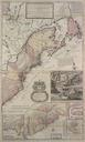
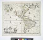
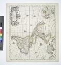
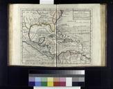
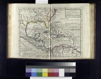
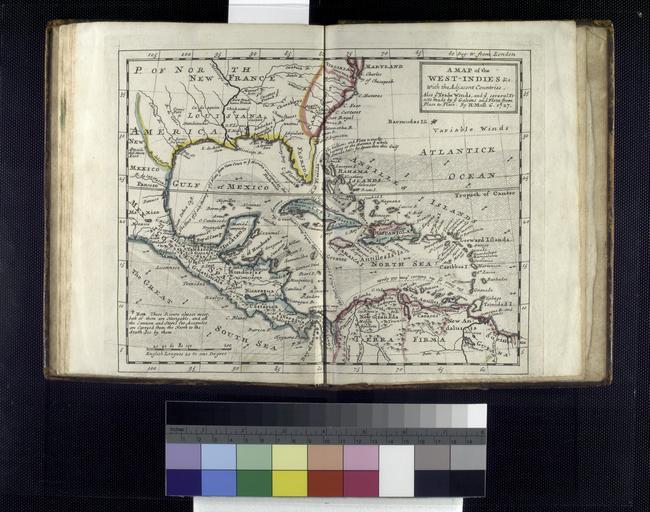
A map of the WestIndies etc with the adjacent countries also ye trade winds and ye several tracts made by ye galeons and flota from place to place by H. Moll g. . NYPL. map hand col cm map of the WestIndies with the adjacent countries also ye trade winds and ye several tracts made by ye galeons and flota from place to place