
Related Images
Download:
| Tiny | 142x128 | View | Download |
| Small | 284x256 | View | Download |
| Medium | 568x512 | View | Download |
| Large | 1137x1024 | View | Download |
| Original tiff | 4924x4433 | View | Download |
| Original as jpg | 4924x4433 | View | Download |
This image was acquired from
wikimedia. It was marked as Public Domain or CC0 and is free to use. To verify, go to the source and check the information there.
Looking for more info about this image?
Try a Google Reverse Image Search for it.
Try a Google Reverse Image Search for it.
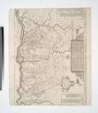
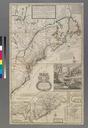
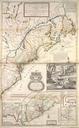
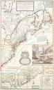
Keywords from Image Description:
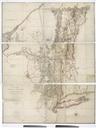
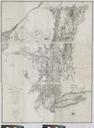
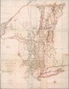
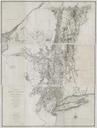
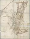
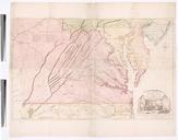
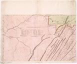
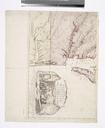
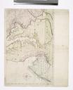
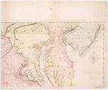
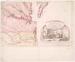
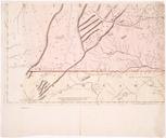
A mapp of ye improved part of Pensilvania in America divided into countyes townships and lotts surveyed by Tho. Holme. NYPL. map cm Maps of North America Countries United States except New York States Pennsylvania Whole Stephen Schwarzman Building The Lionel Pincus and Princess Firyal Map Division Willdey George Bookseller