
Related Images


Download:
| Tiny | 98x128 | View | Download |
| Small | 197x256 | View | Download |
| Medium | 395x512 | View | Download |
| Large | 791x1024 | View | Download |
| Original | 4288x5547 | View | Download |
This image was acquired from
wikimedia. It was marked as Public Domain or CC0 and is free to use. To verify, go to the source and check the information there.
Looking for more info about this image?
Try a Google Reverse Image Search for it.
Try a Google Reverse Image Search for it.
Keywords from Image Description:
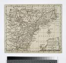
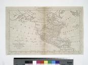
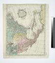
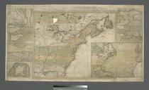
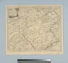
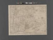
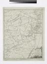
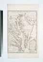
A new and accurate map of North America NYPL b. en Covers the eastern half of North America from James Bay to Cape Canaveral Citation Variant ed of LC Maps of North America nypl org Scan by NYPL new and accurate map of North America Printed sold by Dury bbabcafedccccb Maps of North America ddffdeadeeaa repo nypl org Check