Related Images


Download:
| Tiny | 109x128 | View | Download |
| Small | 219x256 | View | Download |
| Medium | 439x512 | View | Download |
| Large | 879x1024 | View | Download |
| Original tiff | 4496x5235 | View | Download |
| Original as jpg | 4496x5235 | View | Download |
This image was acquired from
wikimedia. It was marked as Public Domain or CC0 and is free to use. To verify, go to the source and check the information there.
Looking for more info about this image?
Try a Google Reverse Image Search for it.
Try a Google Reverse Image Search for it.
Keywords from Image Description:
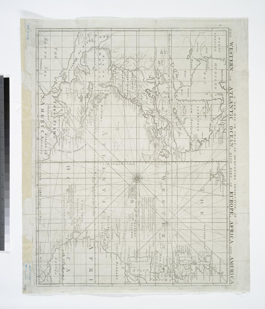
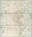
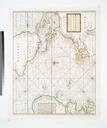
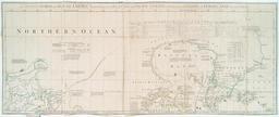
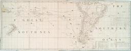
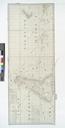
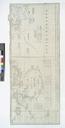
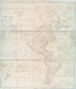
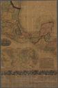
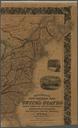
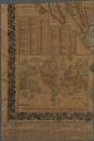
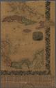
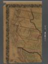
A new map or chart in Mercators projection of the Western or Atlantic Ocean with part of Europe Africa and America. NYPL. map cm nypl org cfm imageID From Political magazine Oct Note Includes notes Note National Endowment for the Humanities Grant for Access to Early Maps of the Middle Atlantic Seaboard updated nypl