
Related Images
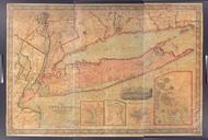
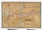
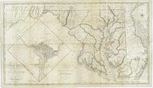

Download:
| Tiny | 82x128 | View | Download |
| Small | 165x256 | View | Download |
| Medium | 330x512 | View | Download |
| Large | 661x1024 | View | Download |
| Original tiff | 3047x4718 | View | Download |
| Original as jpg | 3047x4718 | View | Download |
This image was acquired from
wikimedia and nypl. It was marked as Public Domain or CC0 and is free to use. To verify, go to the source and check the information there.
Looking for more info about this image?
Try a Google Reverse Image Search for it.
Try a Google Reverse Image Search for it.
Keywords from Image Description:
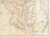
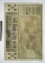
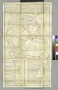
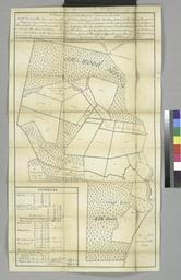
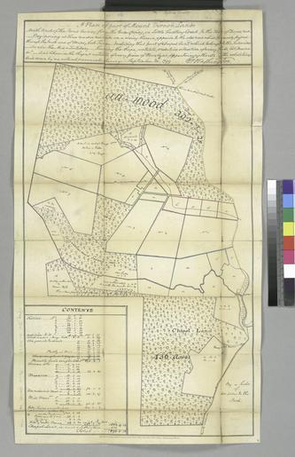
A plan of part of Mount Vernon lands ... the whole being laid down by an actual accurate survey September G. Washington. Entered according to Act of Congress in the Clerk's Office for NYPL. map hand col cm folded in cover cm of text port nypl org cfm imageID Pitcher portrait of George Washingtonand text mounted inside