Related Images


Download:
| Tiny | 102x128 | View | Download |
| Small | 204x256 | View | Download |
| Medium | 409x512 | View | Download |
| Large | 818x1024 | View | Download |
| Original | 4272x5347 | View | Download |
This image was acquired from
wikimedia. It was marked as Public Domain or CC0 and is free to use. To verify, go to the source and check the information there.
Looking for more info about this image?
Try a Google Reverse Image Search for it.
Try a Google Reverse Image Search for it.
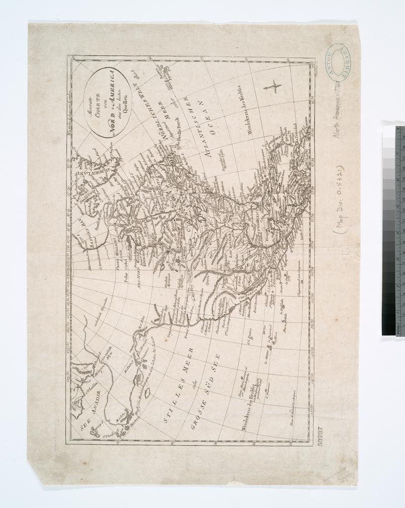
Keywords from Image Description:
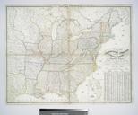
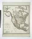
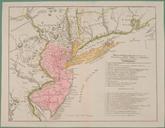
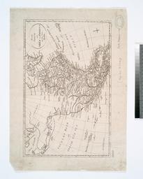
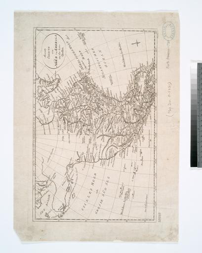
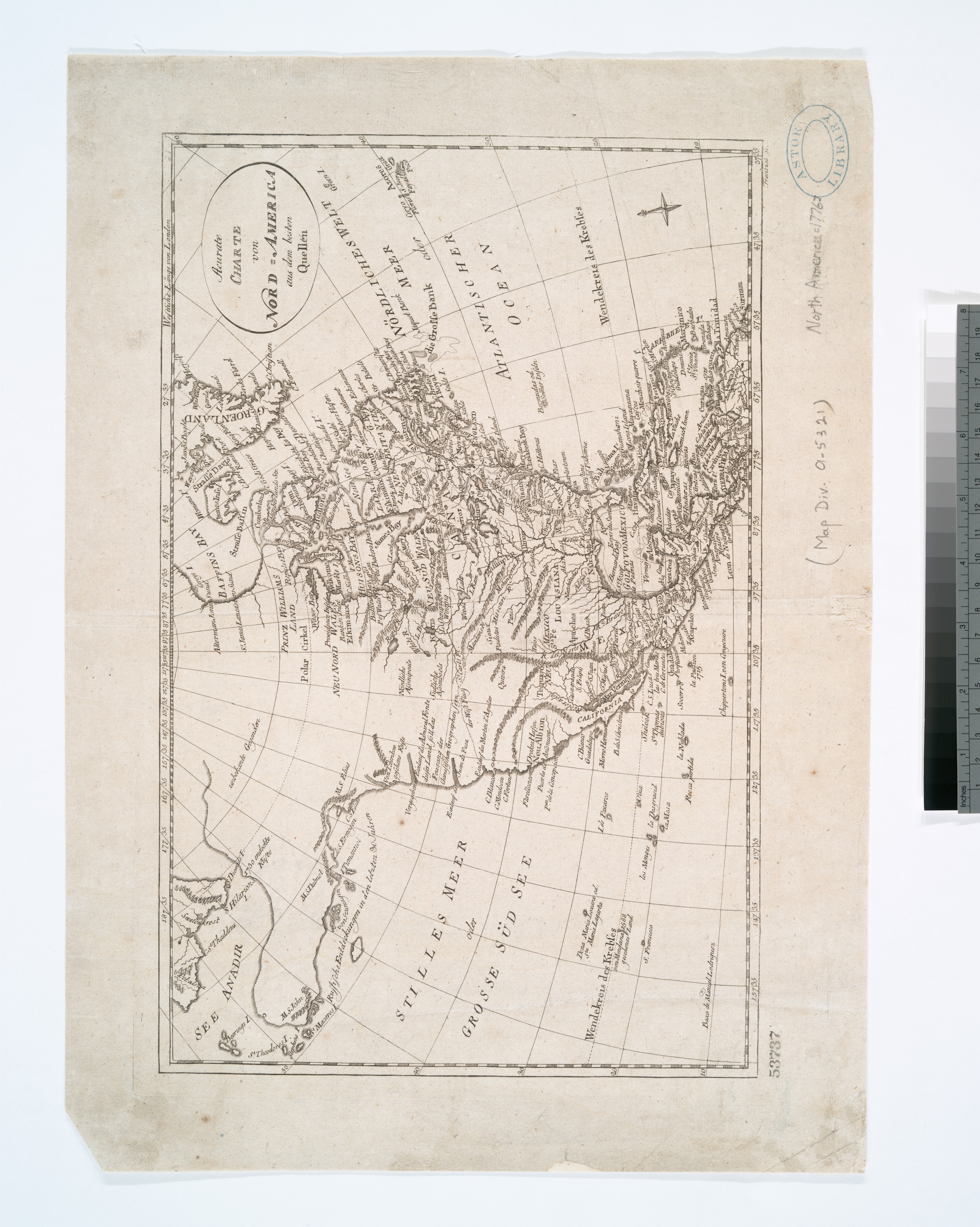
Acurate charte von NordAmerica aus dem besten quellen NYPL b. en National Endowment for the Humanities Grant for Access to Early Maps of the Middle Atlantic Seaboard Relief shown by hachures Watermark Citation NYPL Dictionary Catalog of the Map Division Prime meridian London nypl org Scan by NYPL Acurate charte von NordAmerica