
Related Images


Download:
| Tiny | 170x128 | View | Download |
| Small | 341x256 | View | Download |
| Medium | 682x512 | View | Download |
| Large | 1365x1024 | View | Download |
| Original | 3264x2448 | View | Download |
This image was acquired from
wikimedia. It was marked as Public Domain or CC0 and is free to use. To verify, go to the source and check the information there.
Looking for more info about this image?
Try a Google Reverse Image Search for it.
Try a Google Reverse Image Search for it.
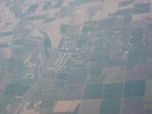
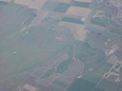
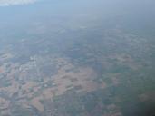
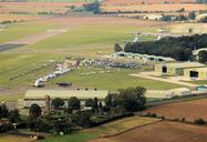
Keywords from Image Description:
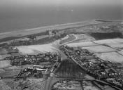
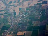
Aerial view of WattsWoodland Airport and surrounding area. Sacramento Valley northern California Own Dcoetzee region US Fields in California Geography of Yolo County California Sacramento Valley California Aerial photographs of airports in California