
Related Images


Download:
| Tiny | 170x128 | View | Download |
| Small | 341x256 | View | Download |
| Medium | 682x512 | View | Download |
| Large | 1365x1024 | View | Download |
| Original | 2592x1944 | View | Download |
This image was acquired from
wikimedia. It was marked as Public Domain or CC0 and is free to use. To verify, go to the source and check the information there.
Looking for more info about this image?
Try a Google Reverse Image Search for it.
Try a Google Reverse Image Search for it.
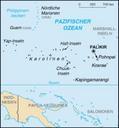
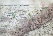
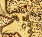
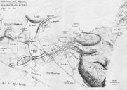
Keywords from Image Description:
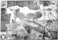
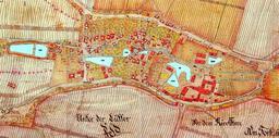
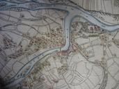
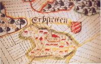
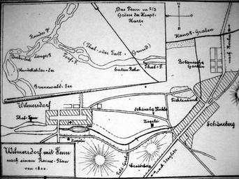
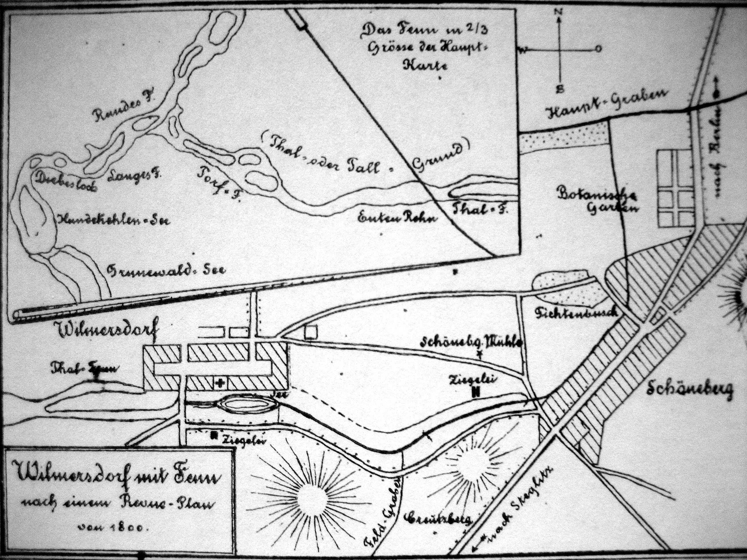
Alte Karte von Wilmersdorf. en Old map of the districts of BerlinWilmerdorf and Grunewald with moor areas de Alte Karte mit Moorgebieten von BerlinWilmersdorf und Grunewald im Museum CharlottenburgWilmersdorf abfotografiert Author PDold Maps of BerlinWilmersdorf Historical maps of Bezirk CharlottenburgWilmersdorf Grunewaldseenkette