Related Images


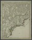
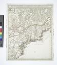
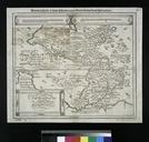

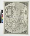
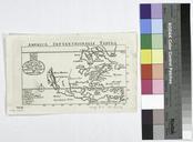
Download:
| Tiny | 138x128 | View | Download |
| Small | 276x256 | View | Download |
| Medium | 553x512 | View | Download |
| Large | 1107x1024 | View | Download |
| Original tiff | 5107x4720 | View | Download |
| Original as jpg | 5107x4720 | View | Download |
This image was acquired from
wikimedia. It was marked as Public Domain or CC0 and is free to use. To verify, go to the source and check the information there.
Looking for more info about this image?
Try a Google Reverse Image Search for it.
Try a Google Reverse Image Search for it.
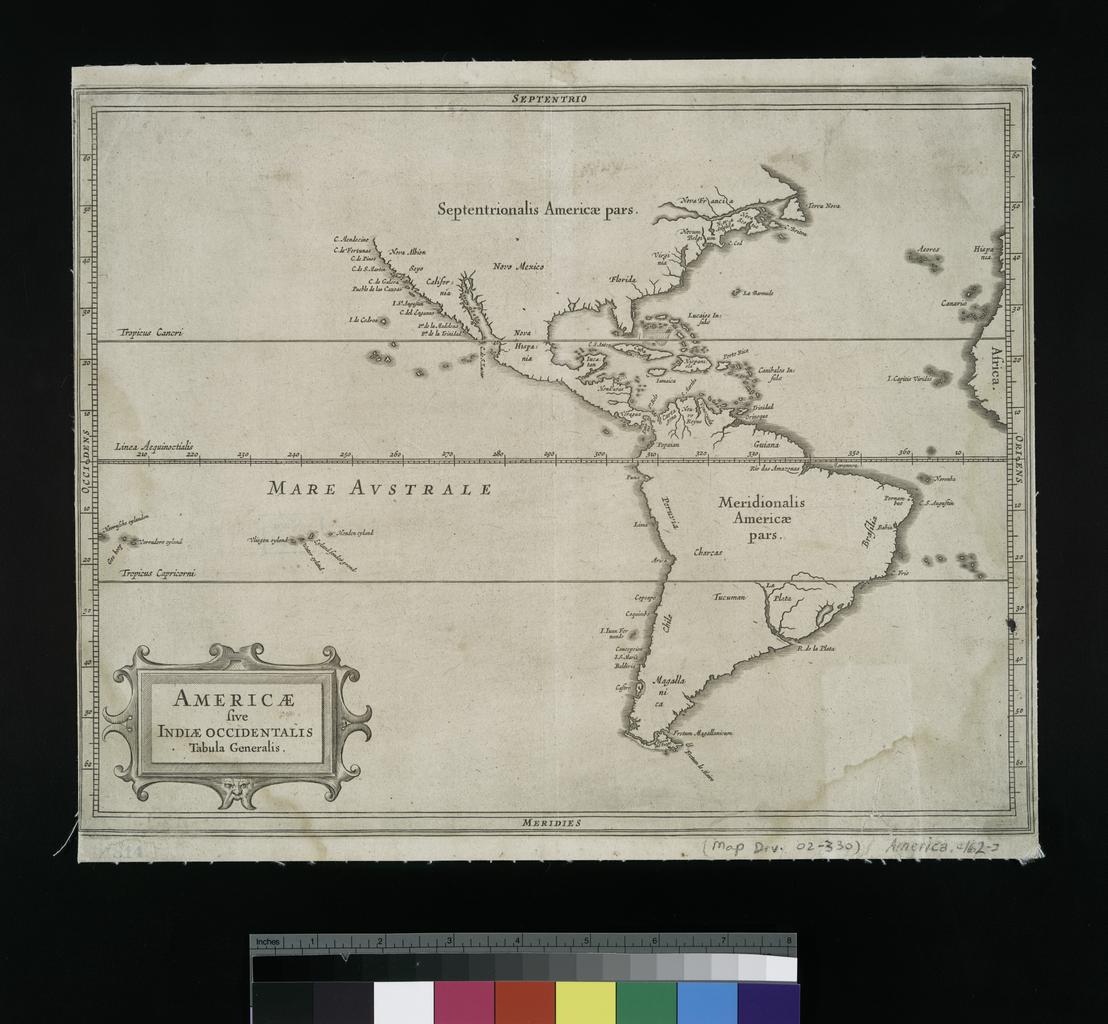
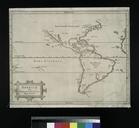
Keywords from Image Description:
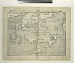
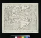
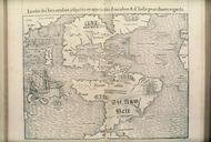
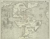
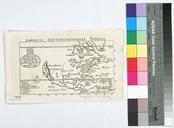
Americae sive Indiae occidentalis tabula generalis. NYPL. map cm nypl org cfm imageID National Endowment for the Humanities Grant for Access to Early Maps of the Middle Atlantic Seaboard Note From Laet's Beschrijvinghe van WestIndien Note Map engraved by Hessel GerritszBurden updated nypl org Maps of North and South America