Related Images
Download:
| Tiny | 183x128 | View | Download |
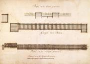
| Small | 367x256 | View | Download |
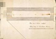
| Medium | 735x512 | View | Download |
| Large | 1470x1024 | View | Download |
| Original | 2400x1671 | View | Download |
This image was acquired from
wikimedia. It was marked as Public Domain or CC0 and is free to use. To verify, go to the source and check the information there.
Looking for more info about this image?
Try a Google Reverse Image Search for it.
Try a Google Reverse Image Search for it.
Keywords from Image Description:
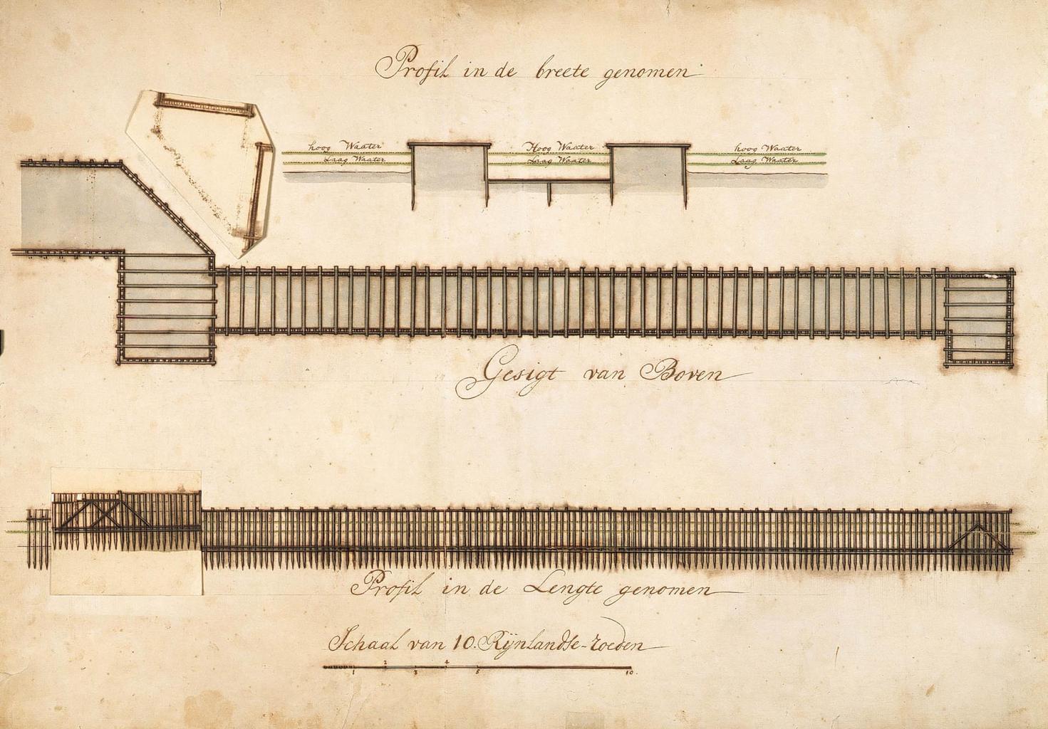
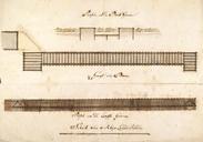
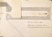
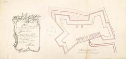
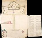
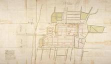
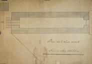
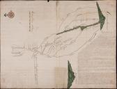
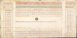
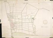
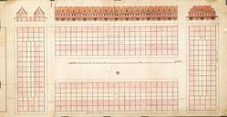
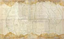
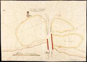
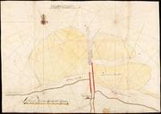
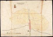
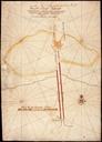
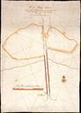
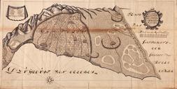
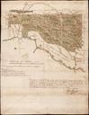
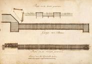
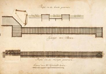
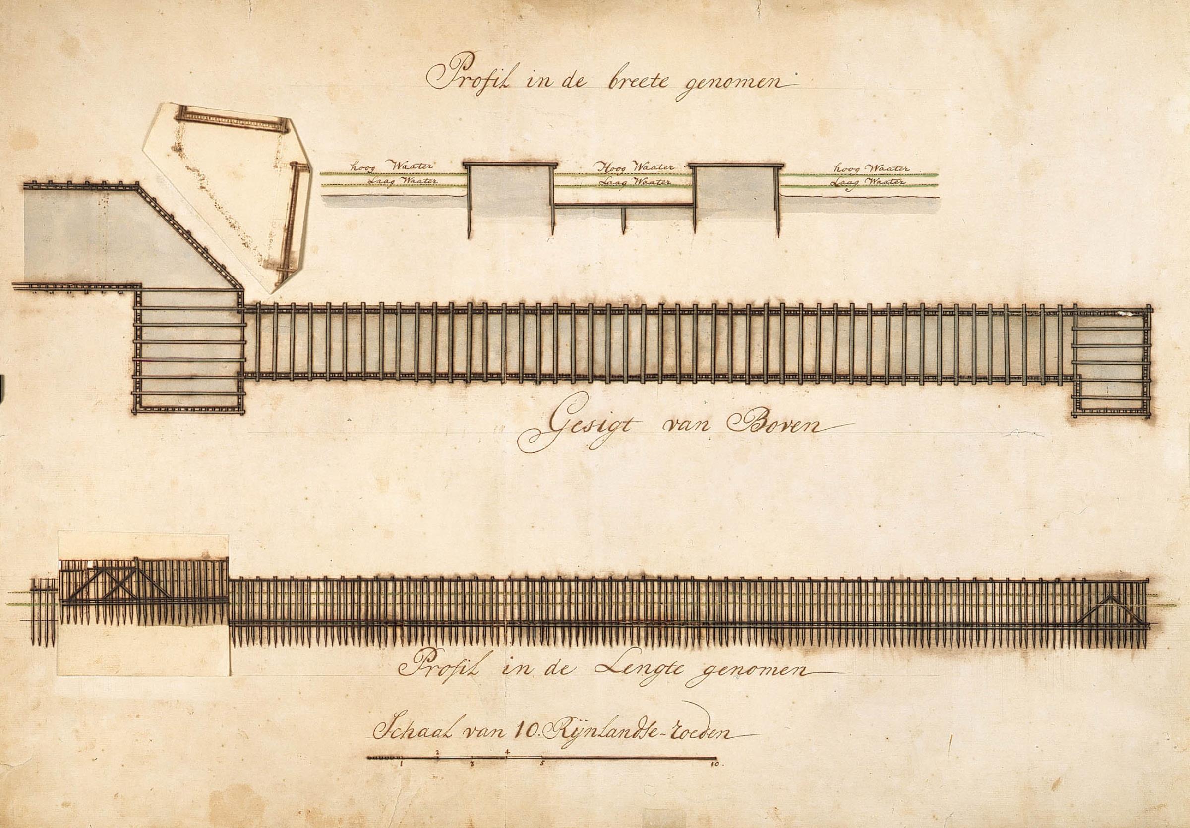
AMHNA Maps and elevations for water works on the 'Groote Rivier' in Batavia. Artwork nl Plattegronden en profielen voor waterwerken van de 'Groote Rivier' te Batavia nl Titel in catalogus Leupe NA Plans profilen enz van het Nieuwe Verlaat Op deze afbeelding is de kaart te zien met de flap omhoog zie VELE voor dezelfde kaart met de