Related Images

Download:
| Tiny | 181x128 | View | Download |
| Small | 362x256 | View | Download |
| Medium | 725x512 | View | Download |
| Large | 1451x1024 | View | Download |
| Original | 2400x1693 | View | Download |
This image was acquired from
wikimedia. It was marked as Public Domain or CC0 and is free to use. To verify, go to the source and check the information there.
Looking for more info about this image?
Try a Google Reverse Image Search for it.
Try a Google Reverse Image Search for it.
Keywords from Image Description:
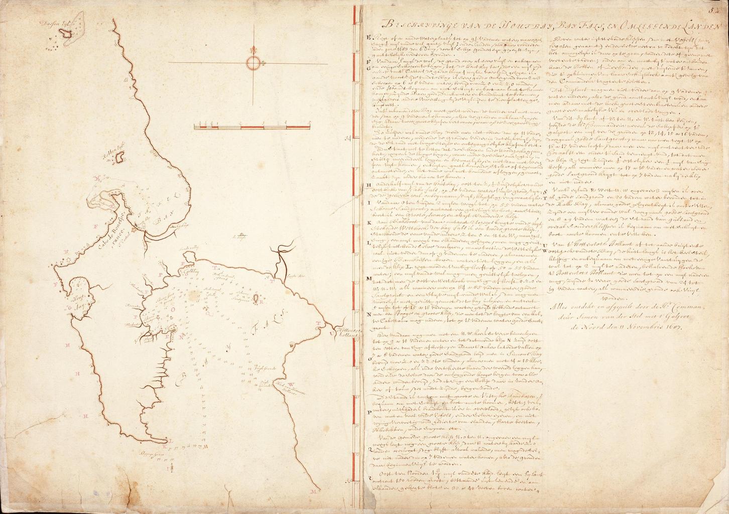
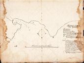
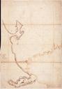
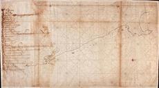
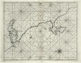
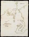
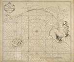
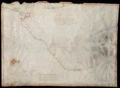
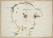
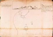
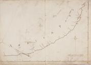
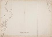
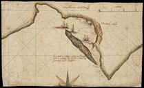
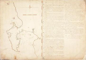
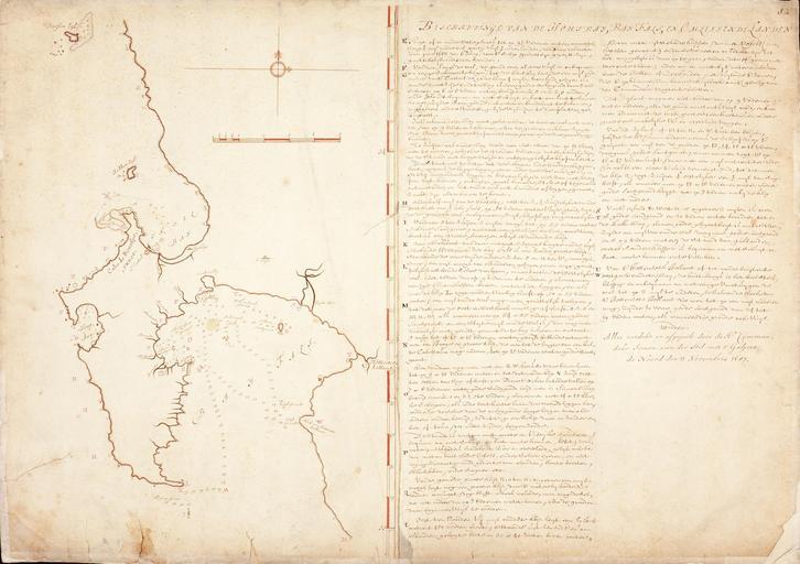
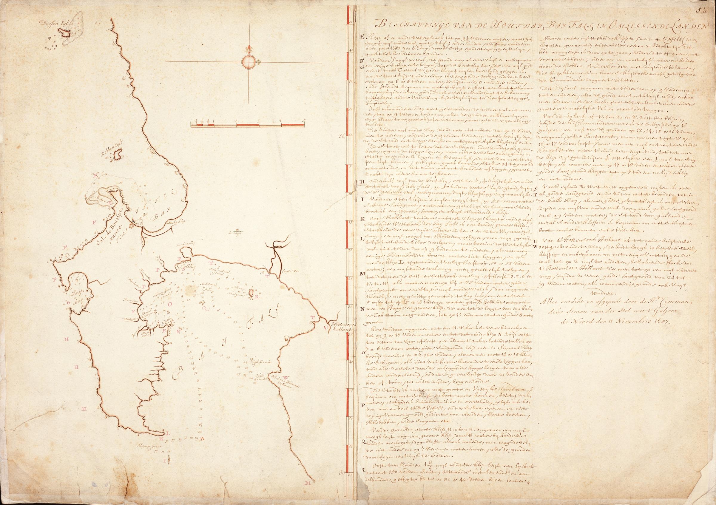
AMHNA Chart of Hout Bay False Bay and surrounding area. Artwork nl Kaart van de Houtbaai Bhay Fals en omgeving nl Titel in catalogus Leupe Nationaal Archief Kaart van de Houtbay Bay Fals en omleggende landen alles ontdekt en afgepeilt door den Heer Commandeur Simon van der Stel Legenda ew Kaart met links de afbeelding en rechts een