
Related Images


Download:
| Tiny | 170x128 | View | Download |
| Small | 341x256 | View | Download |
| Medium | 683x512 | View | Download |
| Large | 1366x1024 | View | Download |
| Original | 2400x1798 | View | Download |
This image was acquired from
wikimedia. It was marked as Public Domain or CC0 and is free to use. To verify, go to the source and check the information there.
Looking for more info about this image?
Try a Google Reverse Image Search for it.
Try a Google Reverse Image Search for it.
Keywords from Image Description:
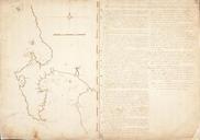
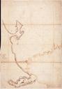
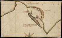
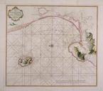
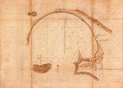
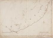
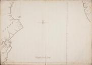
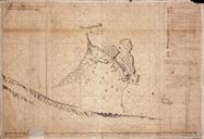
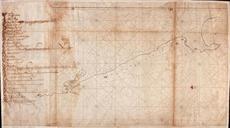
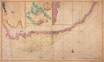
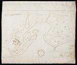
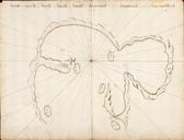
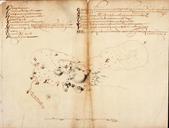
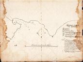
AMHNA Map of Hout Bay and surrounding area. Artwork nl Kaart van de Houtbay en omgeving nl Titel in catalogus Leupe Nationaal Archief Kaart van Houtbay's omtrek en gronden Randen links en rechts met scheurtjes en grote vochtplekken de kompaslijnen gedrukt Notities verso Caerte van de Houtbay No volgnummer van het stuk in de band