Related Images


Download:
| Tiny | 94x128 | View | Download |
| Small | 188x256 | View | Download |
| Medium | 377x512 | View | Download |
| Large | 754x1024 | View | Download |
| Original | 1769x2400 | View | Download |
This image was acquired from
wikimedia. It was marked as Public Domain or CC0 and is free to use. To verify, go to the source and check the information there.
Looking for more info about this image?
Try a Google Reverse Image Search for it.
Try a Google Reverse Image Search for it.
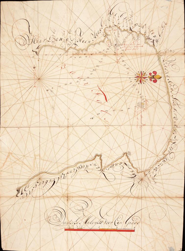
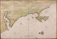
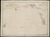
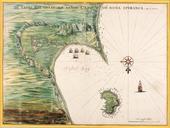
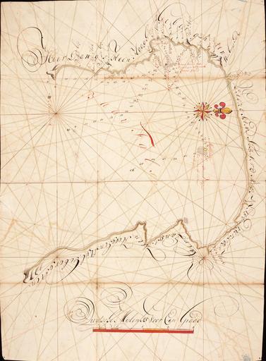
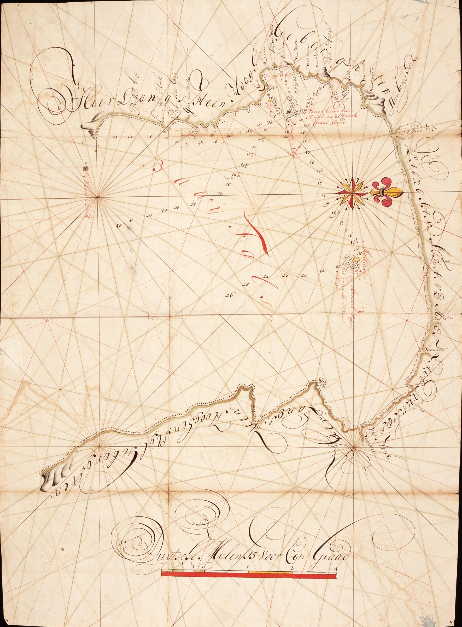
Keywords from Image Description:
AMHNA Map of False Bay with anchorages indicated. Artwork nl Kaart van de Baai Fals met melding van ankerplaatsen nl Titel in catalogus Leupe Nationaal Archief Kaart van de Baai Fals met aanwyzing der ankerplaatsen enz Hoort bij het rapport van Jacob Molter en Jan de Heere in VOC folio door Isaak van Es kaartenmaker De kaart is