Related Images


Download:
| Tiny | 172x128 | View | Download |
| Small | 345x256 | View | Download |
| Medium | 691x512 | View | Download |
| Large | 1382x1024 | View | Download |
| Original | 2400x1778 | View | Download |
This image was acquired from
wikimedia. It was marked as Public Domain or CC0 and is free to use. To verify, go to the source and check the information there.
Looking for more info about this image?
Try a Google Reverse Image Search for it.
Try a Google Reverse Image Search for it.
Keywords from Image Description:
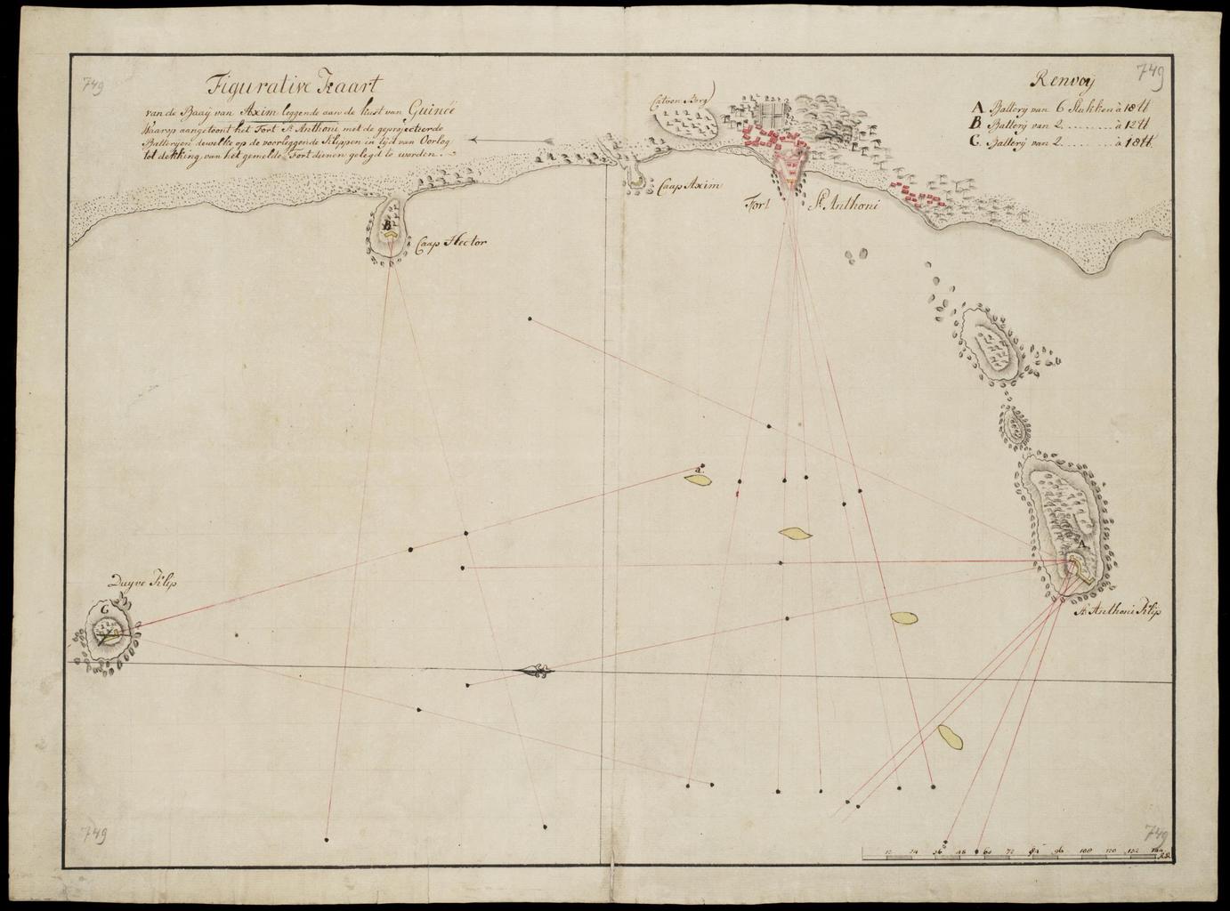
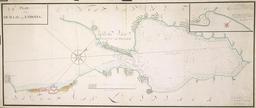
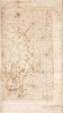
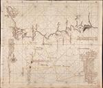
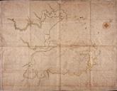
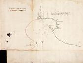
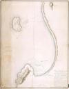
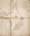
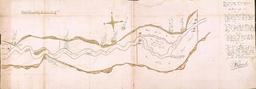
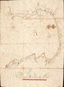
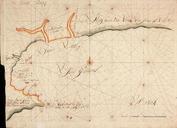
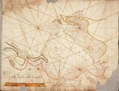
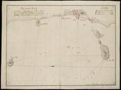
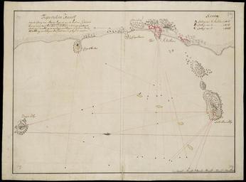
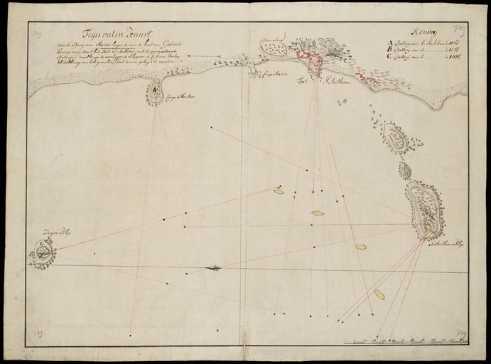
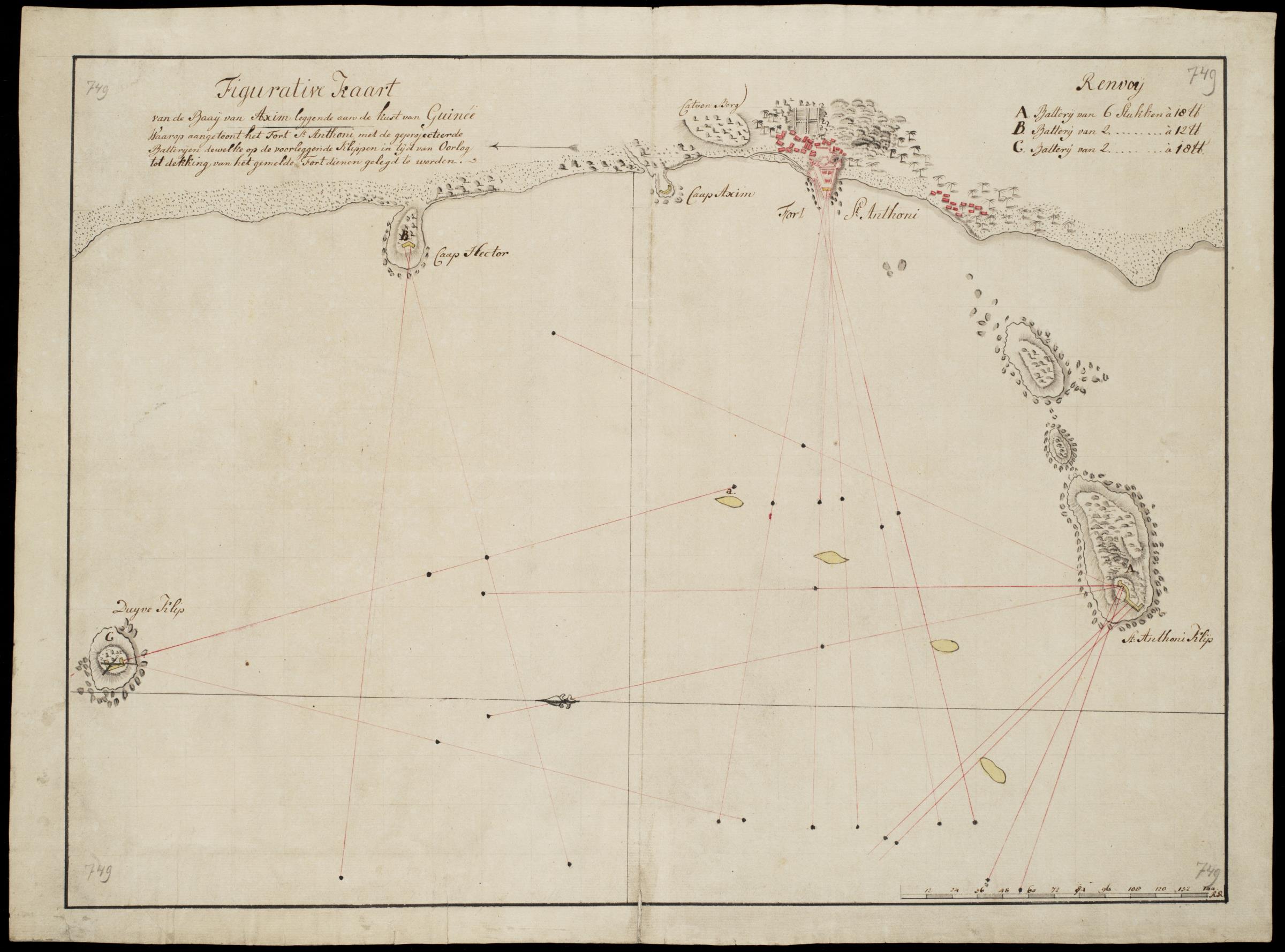
AMHNA Map of the bay of Axim. Artwork nl Kaart van de baai van Axim nl Kaart van de baai van Axim Figurative Kaart van de Baaij van Axim leggende aan de kust van Guine Waarop aangetoont het Fort St Anthoni met de geprojecteerde Batterijen dewelke op de voorleggende Klippen in tijd van Oorlog tot dekking van het gemelde Fort dienen