Related Images


Download:
| Tiny | 180x128 | View | Download |
| Small | 360x256 | View | Download |
| Medium | 720x512 | View | Download |
| Large | 1441x1024 | View | Download |
| Original | 2400x1705 | View | Download |
This image was acquired from
wikimedia. It was marked as Public Domain or CC0 and is free to use. To verify, go to the source and check the information there.
Looking for more info about this image?
Try a Google Reverse Image Search for it.
Try a Google Reverse Image Search for it.
Keywords from Image Description:
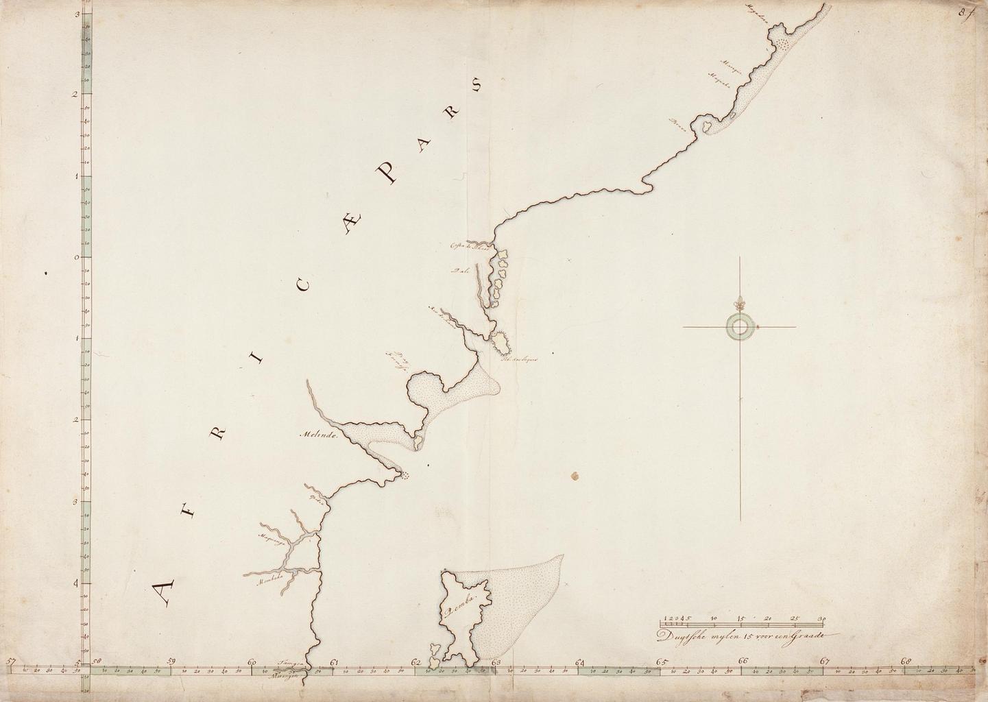
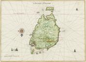
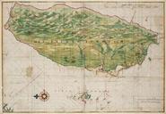
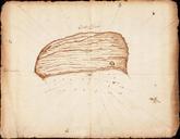
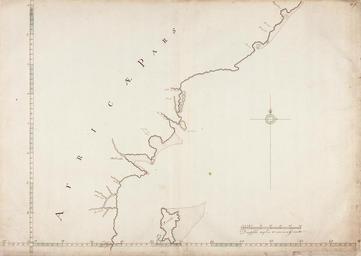
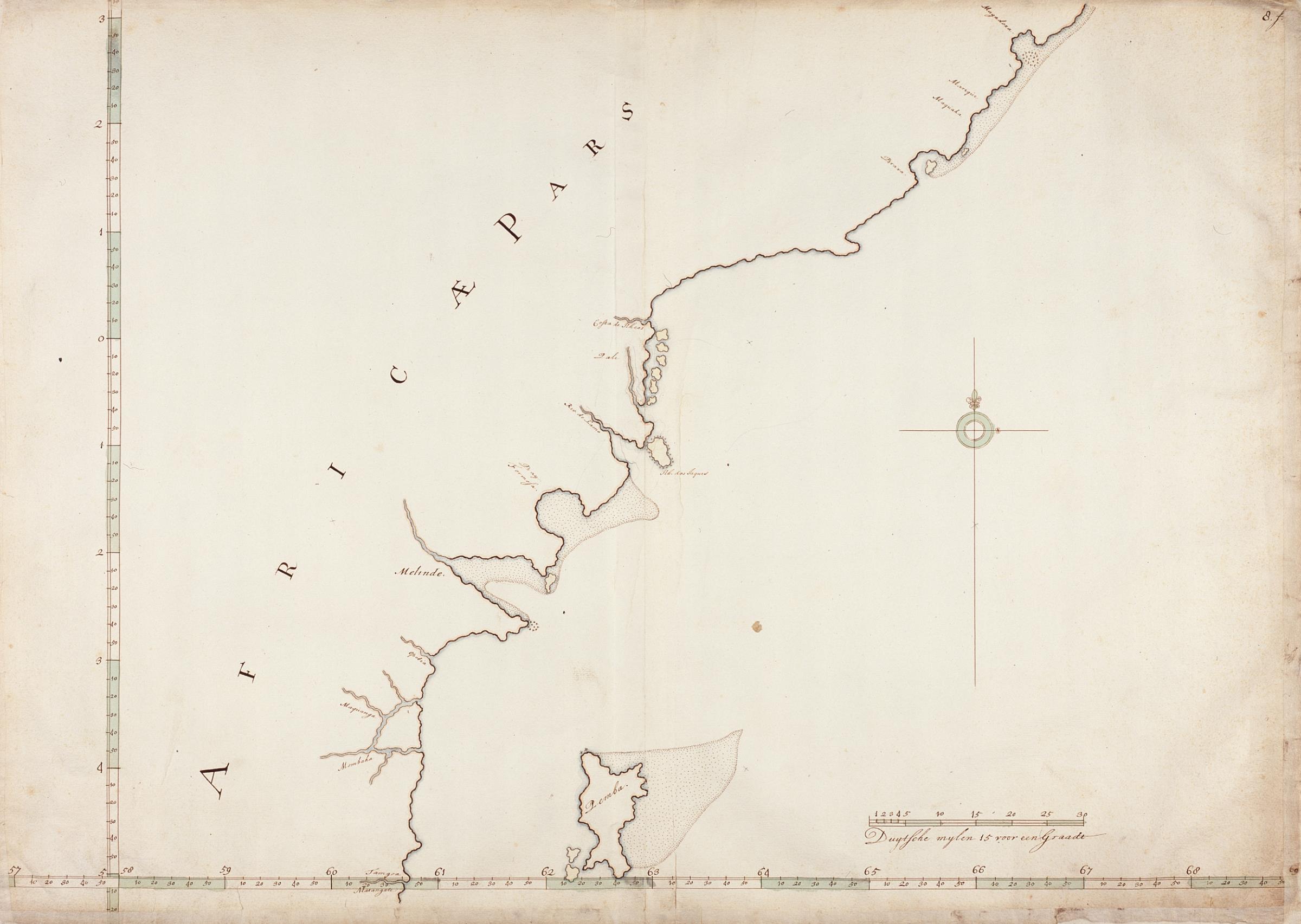
AMHNA Map of Tamgoa to Magadoxa and the island of Pemba. Artwork nl Kaart van Tamgoa tot Magadoxa en het eiland Pemba nl Titel in catalogus Leupe Nationaal Archief Kaart van de Oostkust van Afrika tusschen Tamgoa en Magadoxa en het eiland Pemba Rechtsboven genummerd Notities verso in potlood in rechterbovenhoek in rood potlood