Download:
| Tiny | 149x128 | View | Download |
| Small | 298x256 | View | Download |
| Medium | 597x512 | View | Download |
| Large | 1195x1024 | View | Download |
| Original | 2400x2055 | View | Download |
This image was acquired from
wikimedia. It was marked as Public Domain or CC0 and is free to use. To verify, go to the source and check the information there.
Looking for more info about this image?
Try a Google Reverse Image Search for it.
Try a Google Reverse Image Search for it.
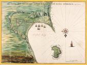
Keywords from Image Description:
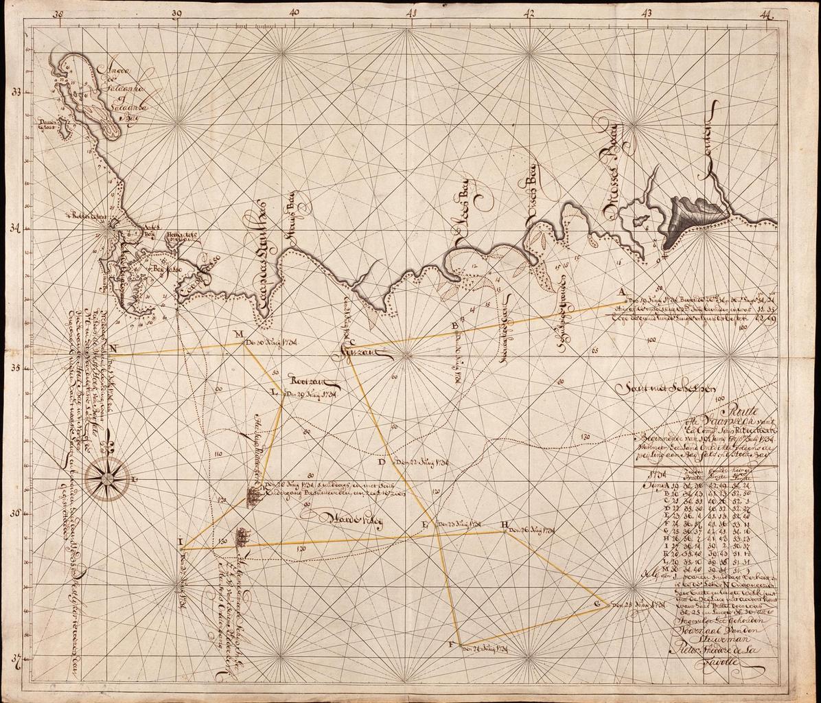
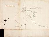
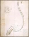
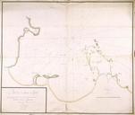
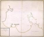
AMHNA Coastal map from Saldanha Bay to Mossel Bay. Artwork nl Kaart van de Saldanhabaai tot de Mosselbaai nl Titel catalogus Leupe NA Route ofte vaarwech van 't Ed Comp schip Ridderkerk beginnende van Junij tot primo Julij wanneer het land ontdekte volgens de peijling aen Baij Fals en d'Houtbaij Bijzonderheden de kompaslijnen zijn
