Related Images


Download:
| Tiny | 102x128 | View | Download |
| Small | 204x256 | View | Download |
| Medium | 409x512 | View | Download |
| Large | 819x1024 | View | Download |
| Original | 1921x2400 | View | Download |
This image was acquired from
wikimedia. It was marked as Public Domain or CC0 and is free to use. To verify, go to the source and check the information there.
Looking for more info about this image?
Try a Google Reverse Image Search for it.
Try a Google Reverse Image Search for it.
Keywords from Image Description:
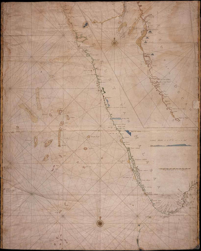
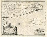
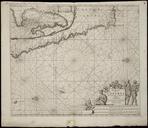
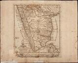
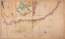
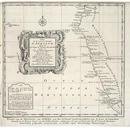
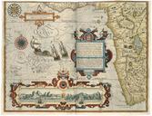
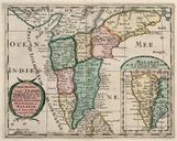
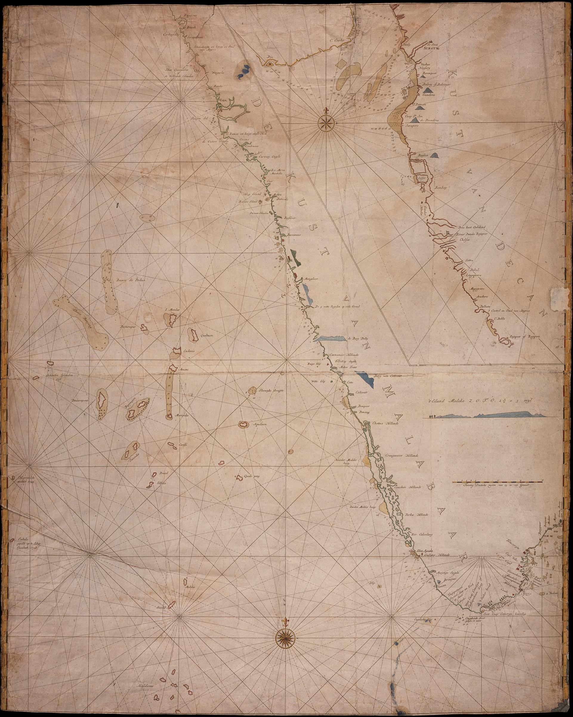
AMHNA Map of the coasts of Decan and Malabar from Suratte to Cape Comorin. Artwork nl Kaart van de kusten van Decan en Malabaar van Suratte tot kaap Comorijn nl Titel catalogus Leupe NA Kaart van de kusten van Decan en Malabaar van Suratte tot beoosten en benoorden kaap Comorijn in doubletvorm Datering na Bijzonderheden de kaart