Related Images
Download:
| Tiny | 186x128 | View | Download |
| Small | 373x256 | View | Download |
| Medium | 746x512 | View | Download |
| Large | 1493x1024 | View | Download |
| Original | 2400x1646 | View | Download |
This image was acquired from
wikimedia. It was marked as Public Domain or CC0 and is free to use. To verify, go to the source and check the information there.
Looking for more info about this image?
Try a Google Reverse Image Search for it.
Try a Google Reverse Image Search for it.
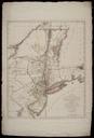
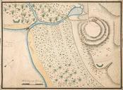
Keywords from Image Description:
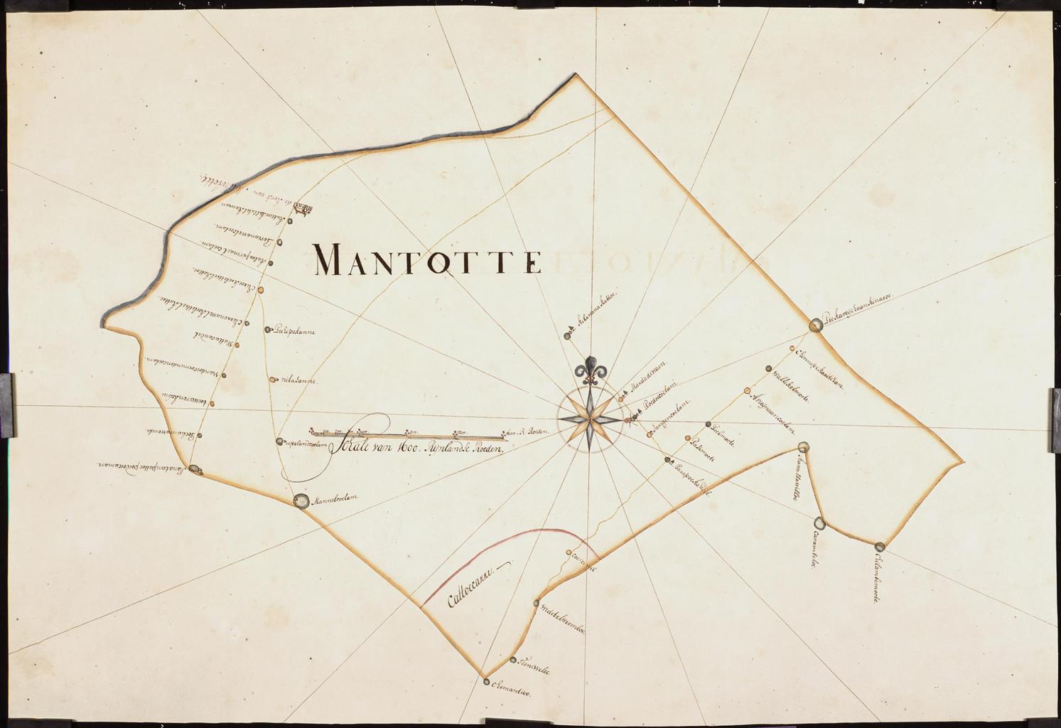
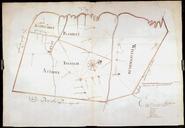
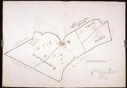
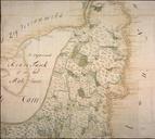
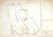
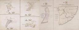
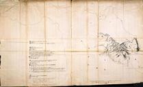
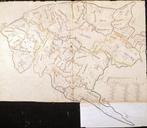
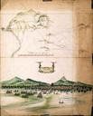
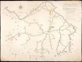
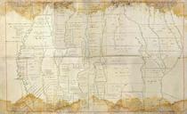
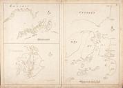
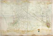
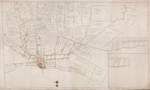
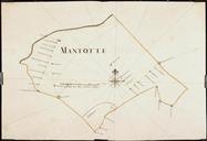
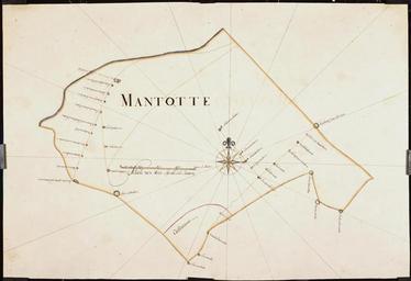
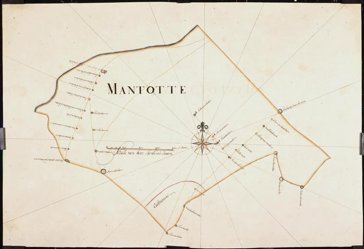
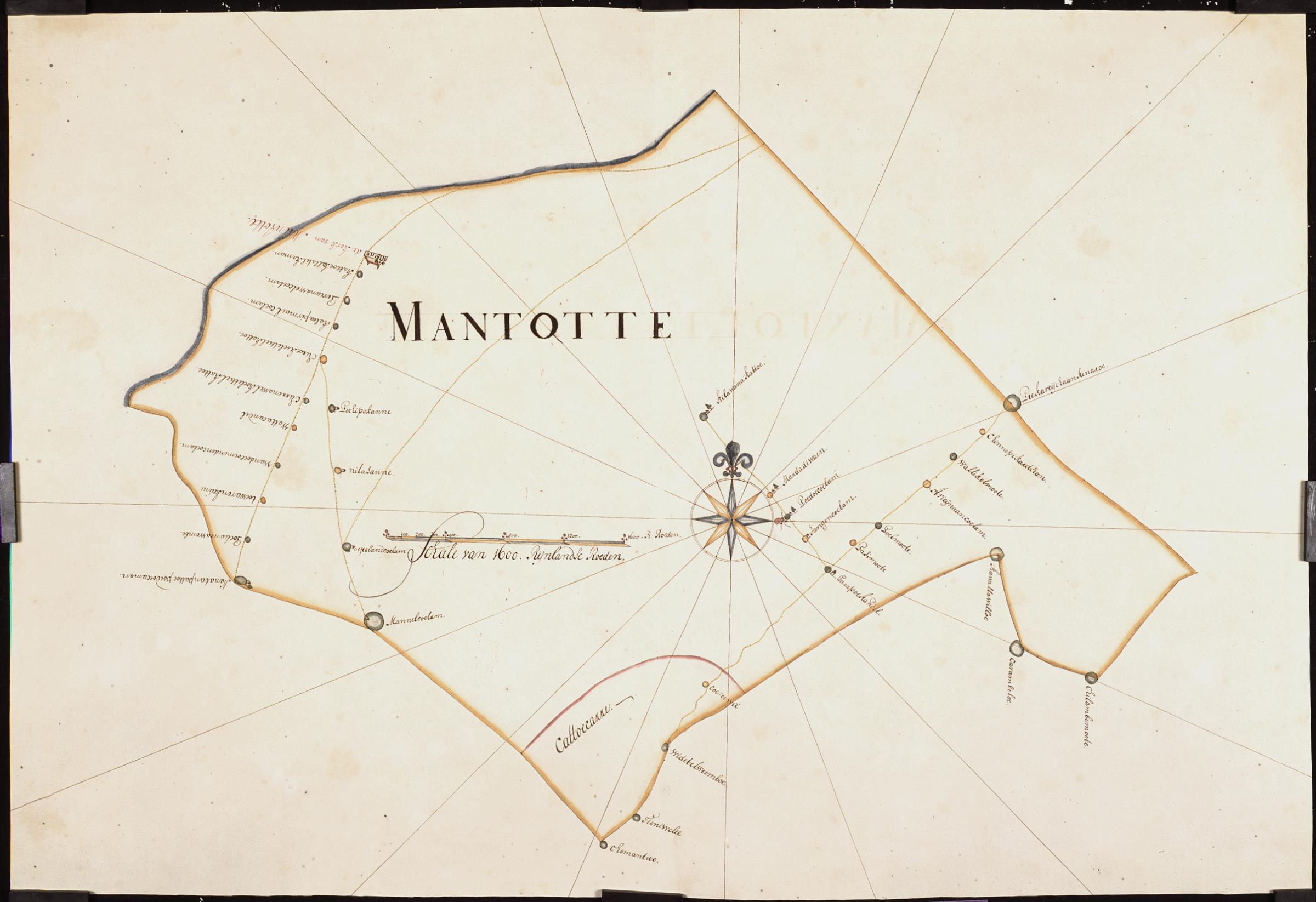
AMHNA Map of the parish around Mantotte. Artwork nl Kaart van het kerkelijk gebied rondom Mantotte nl Titel catalogus Leupe NA Generaale beschrijvingh der landpaalen gelegen en sortabel onder het gebiet van d'Ed in den omtrek van het geheel mitsgaders wijduijtstreckent eijlant Ceijlon bestaande in een en dartig stux soo generale